Transport Functions
Rail
Road
Hub Profile
Place type
Provincial seat
Region
Texas
Population
7,156
Time zone
America/Chicago
Elevation
140 m
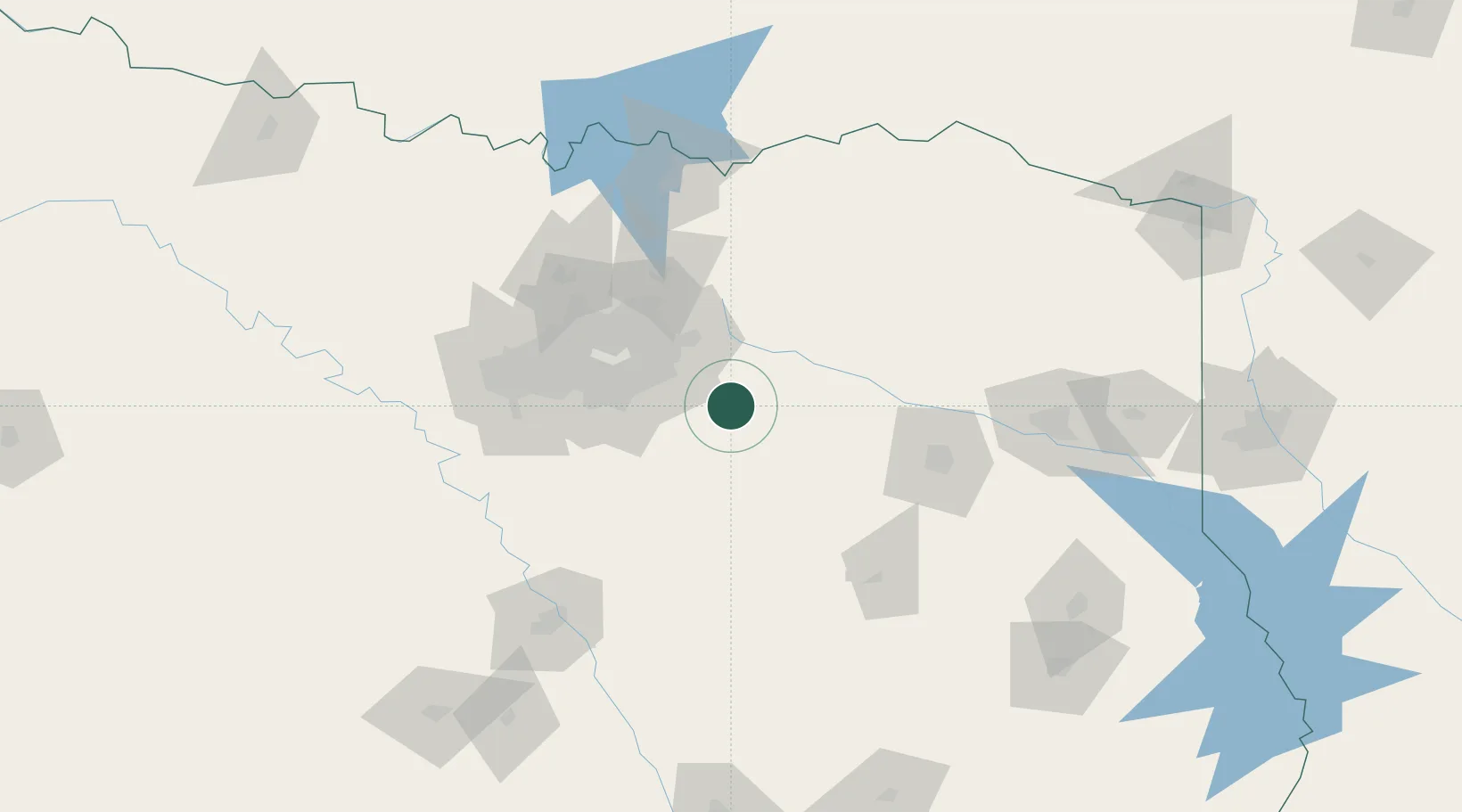
Location
Nearby Logistics Neighbours
Cities
- 1Wills Point30 km
- 2Mabank32 km
- 3Seven Points33 km
- 4Blackland, Rockwell34 km
- 5Ferris35 km
Airports
Trade Zones
- 1FTZ No. 269 Athens59 km
- 2FTZ No. 113 Ellis County75 km
- 3FTZ No. 168 Dallas Fort Worth116 km
- 4FTZ No. 196 Fort Worth121 km
- 5FTZ No. 234 Gregg County129 km
DatabookThe Record of Consolidated Knowledge
United States beyond logistics?