UN/LOCODE hub · United States
USONQ

Mason, Bayfield

46.4333°, -91.0667°
2
Transport functions

Transport Functions

Rail
Road
UN/LOCODE

Hub Profile

Region
WI
GeoNames

Location

Location of USONQ
Natural Earth 10m (public domain) · WI · USONQ · 46.43, -91.07GoogleOSMYandex

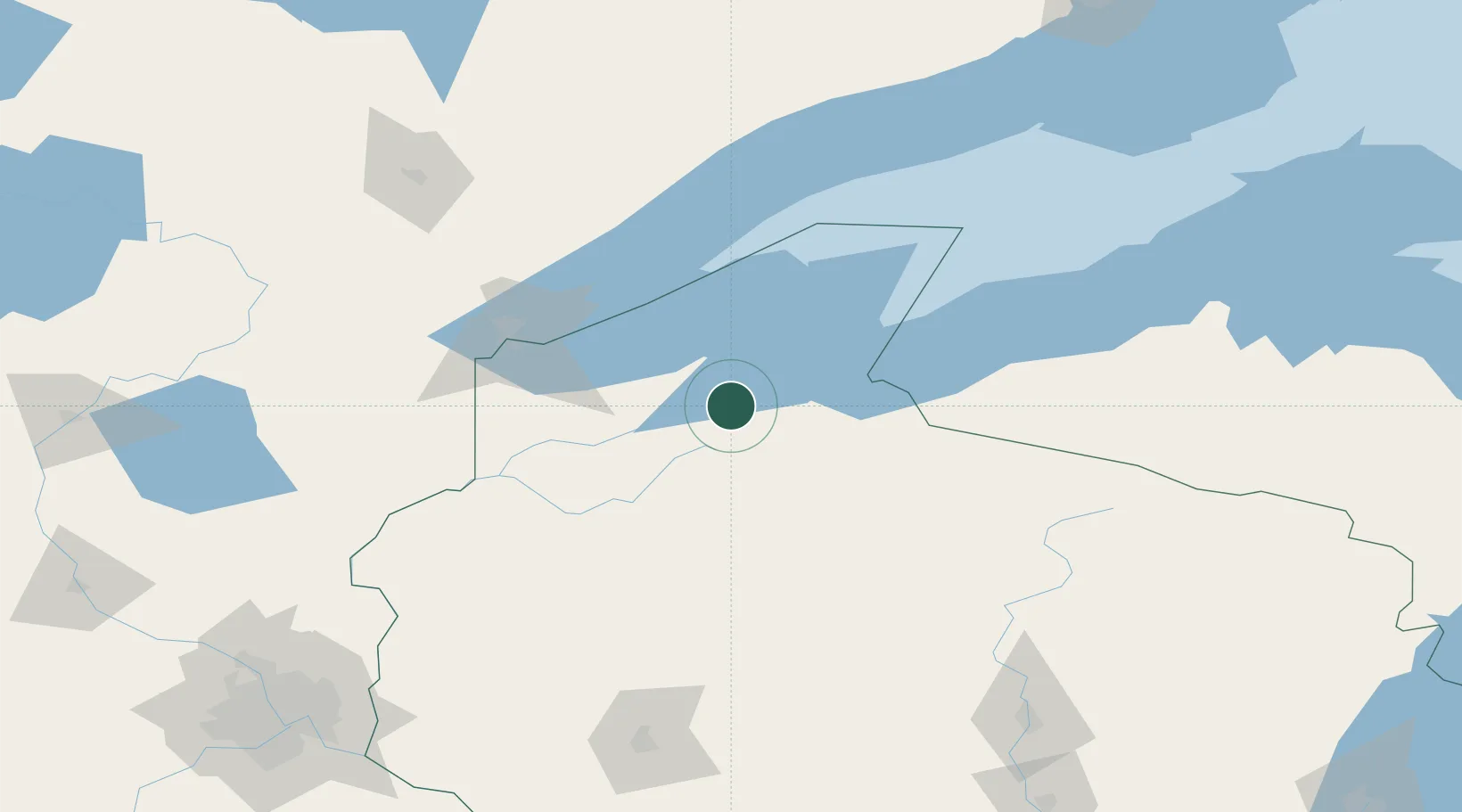
Nearby Logistics Neighbours

Cities
  1. 1Mellen33 km
  2. 2La Pointe43 km
  3. 3Glidden49 km
  4. 4Hurley68 km
  5. 5Exeland86 km
Nearest neighbours — logibook spatial index (haversine) over the source coordinates
Ports
  1. 1Ashland24 km
  2. 2Washburn30 km
  3. 3La Pointe45 km
  4. 4Bayfield45 km
  5. 5Two Harbors79 km
Nearest neighbours — logibook spatial index (haversine) over the source coordinates
Airports
  1. 1Sawyer County Airport54 km
  2. 2Gogebic Iron County Airport72 km
  3. 3Duluth International Airport98 km
  4. 4Rhinelander Oneida County Airport152 km
  5. 5Ely Municipal Airport165 km
Nearest neighbours — logibook spatial index (haversine) over the source coordinates
Trade Zones
  1. 1FTZ No. 051 Duluth98 km
  2. 2FTZ No. 119 Minneapolis-St. Paul234 km
  3. 3FTZ No. 167 Brown County309 km
  4. 4FTZ No. 259 Koochiching County319 km
  5. 5FTZ No. 266 Dane County389 km
Nearest neighbours — logibook spatial index (haversine) over the source coordinates
DatabookThe Record of Consolidated Knowledge
United States beyond logistics?
Browse databook

All Sources

LocationsUN/LOCODE
UN/LOCODE — free
Portsthe NGA World Port Index
Public domain (US gov)
AirportsOurAirports
Public domain
Trade Zonesthe World Bank SEZ database
CC BY 4.0
Trade ZonesOpen Zone Map
CC BY
← United States locations