UN/LOCODE hub · United States
USSO2

Scotland

43.1333°, -97.7167°
820
Population
2
Transport functions

Transport Functions

Road
Multimodal
UN/LOCODE

Hub Profile

Place type
Populated place
GeoNames
Region
South Dakota
GeoNames
Population
820
GeoNames
Time zone
America/Chicago
GeoNames
Elevation
412 m
GeoNames

Location

Location of USSO2
Natural Earth 10m (public domain) · South Dakota · USSO2 · 43.13, -97.72GoogleOSMYandex

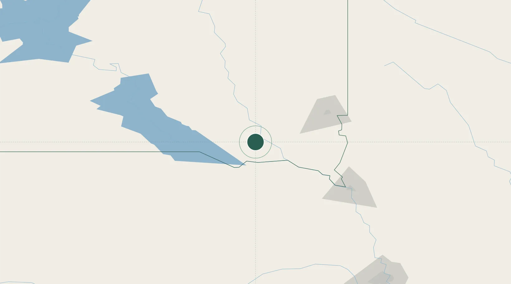
Nearby Logistics Neighbours

Cities
  1. 1Tabor23 km
  2. 2Parkston37 km
  3. 3Niobrara49 km
  4. 4Bridgewater50 km
  5. 5Emery53 km
Nearest neighbours — logibook spatial index (haversine) over the source coordinates
Ports
  1. 1Superior598 km
  2. 2Duluth599 km
  3. 3Two Harbors643 km
  4. 4Ashland663 km
  5. 5Washburn666 km
Nearest neighbours — logibook spatial index (haversine) over the source coordinates
Airports
  1. 1Chan Gurney Municipal Airport36 km
  2. 2Sioux Falls Regional Airport94 km
  3. 3Karl Stefan Memorial Airport130 km
  4. 4Sioux Gateway Airport / Brigadier General Bud Day Field136 km
  5. 5Huron Regional Airport145 km
Nearest neighbours — logibook spatial index (haversine) over the source coordinates
Trade Zones
  1. 1FTZ No. 220 Sioux Falls88 km
  2. 2FTZ No. 288 Northwest Iowa133 km
  3. 3FTZ No. 059 Lincoln270 km
  4. 4FTZ No. 133 Quad-Cities, Iowa Illinois352 km
  5. 5FTZ No. 107 Polk County367 km
Nearest neighbours — logibook spatial index (haversine) over the source coordinates
DatabookThe Record of Consolidated Knowledge
United States beyond logistics?
Browse databook

All Sources

LocationsUN/LOCODE
UN/LOCODE — free
LocationsGeoNames
CC BY 4.0
Portsthe NGA World Port Index
Public domain (US gov)
AirportsOurAirports
Public domain
Trade Zonesthe World Bank SEZ database
CC BY 4.0
Trade ZonesOpen Zone Map
CC BY
← United States locations