UN/LOCODE hub · United States
USAKS
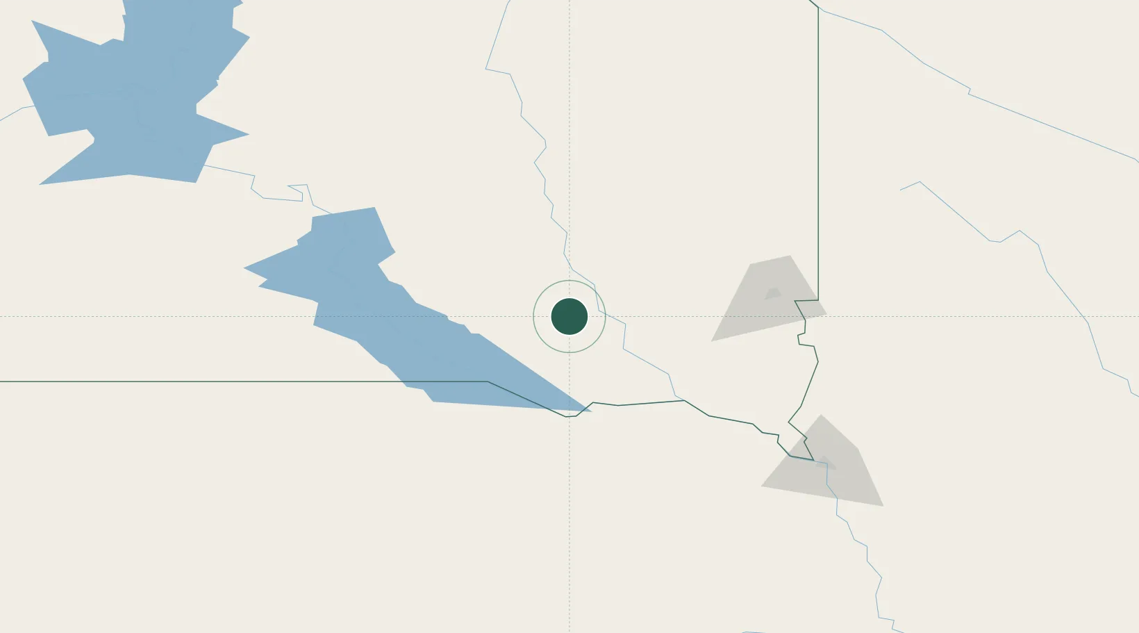
Parkston
43.4000°, -97.9833°
1,488
Population
3
Transport functions
Transport Functions
Rail
Road
Multimodal
Hub Profile
Place type
Populated place
Region
South Dakota
Population
1,488
Time zone
America/Chicago
Elevation
425 m
Location
Nearby Logistics Neighbours
Cities
- 1Scotland37 km
- 2Emery37 km
- 3Bridgewater42 km
- 4Tabor59 km
- 5Salem61 km
Ports
- 1Superior594 km
- 2Duluth594 km
- 3Two Harbors638 km
- 4Ashland663 km
- 5Washburn665 km
Airports
Trade Zones
- 1FTZ No. 220 Sioux Falls97 km
- 2FTZ No. 288 Northwest Iowa157 km
- 3FTZ No. 059 Lincoln304 km
- 4FTZ No. 133 Quad-Cities, Iowa Illinois387 km
- 5FTZ No. 267 Fargo392 km
DatabookThe Record of Consolidated Knowledge
United States beyond logistics?