Transport Functions
Port
Road
Hub Profile
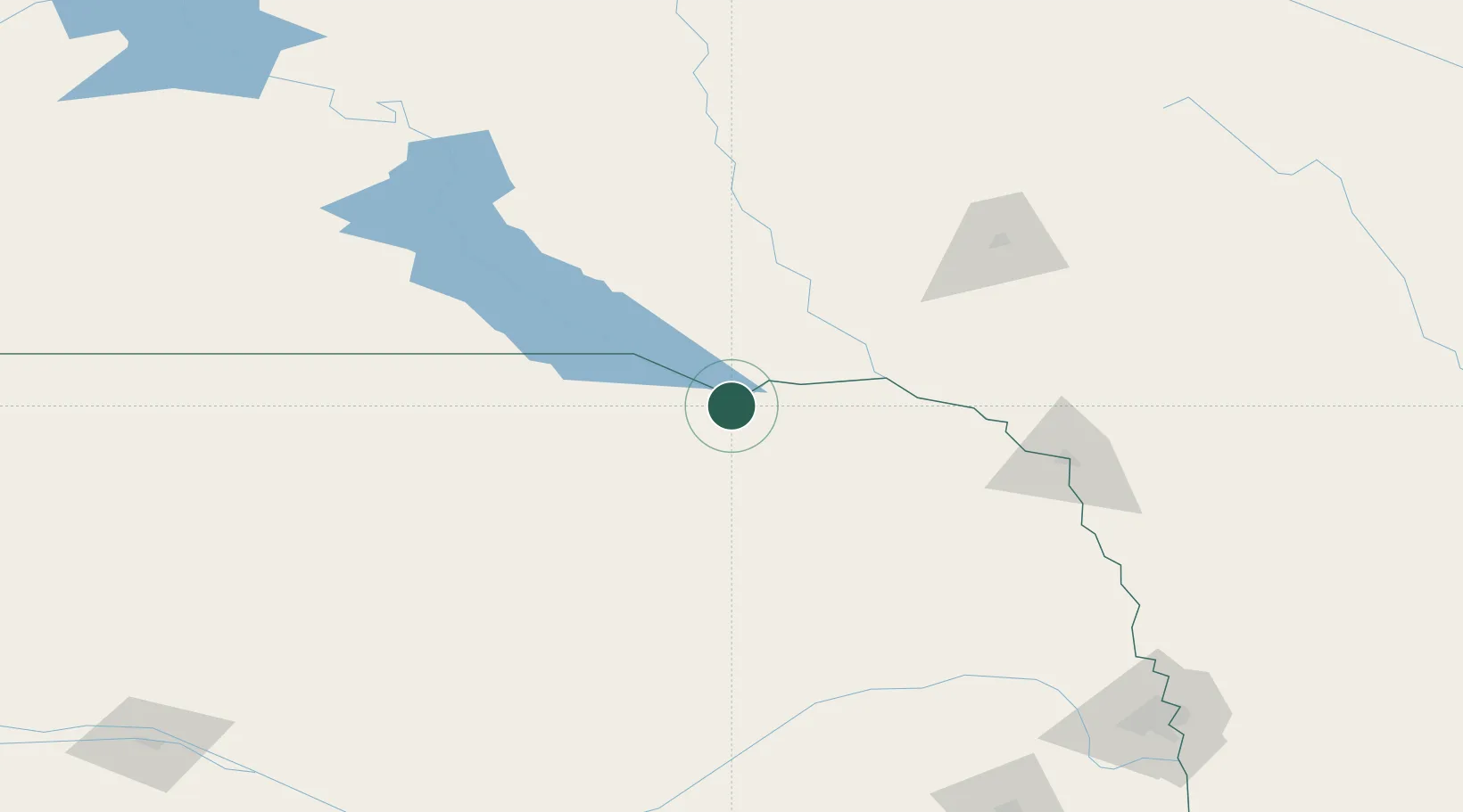
Place type
Populated place
Region
Nebraska
Population
350
Time zone
America/Chicago
Elevation
375 m
Location
Nearby Logistics Neighbours
Cities
- 1Tabor36 km
- 2Scotland49 km
- 3Ewing61 km
- 4Gayville, Yankton71 km
- 5Parkston72 km
Ports
- 1Superior645 km
- 2Duluth646 km
- 3Two Harbors690 km
- 4Ashland709 km
- 5Washburn712 km
Airports
Trade Zones
- 1FTZ No. 220 Sioux Falls133 km
- 2FTZ No. 288 Northwest Iowa165 km
- 3FTZ No. 059 Lincoln238 km
- 4FTZ No. 133 Quad-Cities, Iowa Illinois322 km
- 5FTZ No. 107 Polk County374 km
DatabookThe Record of Consolidated Knowledge
United States beyond logistics?