UN/LOCODE hub · United States
USTAI
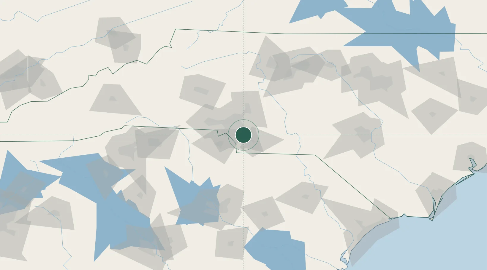
Stallings
35.0833°, -80.6833°
15,270
Population
2
Transport functions
Transport Functions
Road
Multimodal
Hub Profile
Place type
Populated place
Region
North Carolina
Population
15,270
Time zone
America/New_York
Elevation
228 m
Location
Nearby Logistics Neighbours
Ports
- 1Georgetown230 km
- 2Charleston265 km
- 3Wilmington267 km
- 4Southport277 km
- 5Wrightsville279 km
Airports
Trade Zones
DatabookThe Record of Consolidated Knowledge
United States beyond logistics?