Transport Functions
Rail
Road
Hub Profile
Place type
Populated place
Region
North Carolina
Time zone
America/New_York
Elevation
235 m
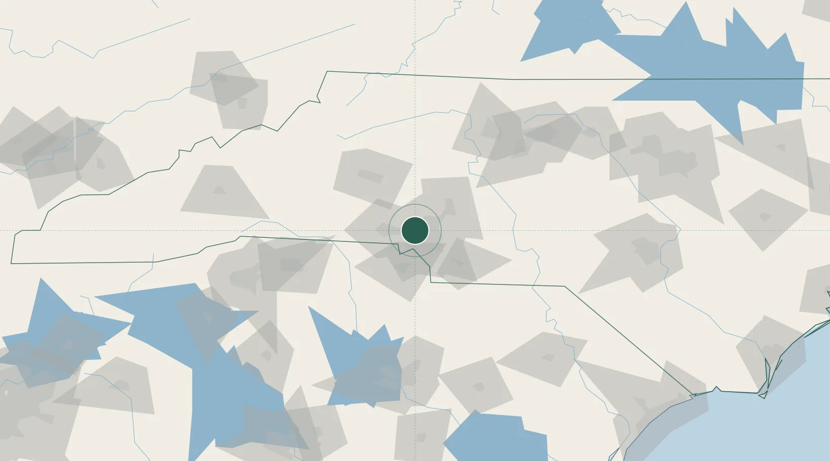
Location
Nearby Logistics Neighbours
Cities
- 1Cramerton14 km
- 2Lowell17 km
- 3Cornelius25 km
- 4Iron Station28 km
- 5Stallings29 km
Ports
- 1Georgetown259 km
- 2Charleston291 km
- 3Wilmington294 km
- 4Southport305 km
- 5Wrightsville306 km
Airports
Trade Zones
DatabookThe Record of Consolidated Knowledge
United States beyond logistics?