Transport Functions
Road
Multimodal
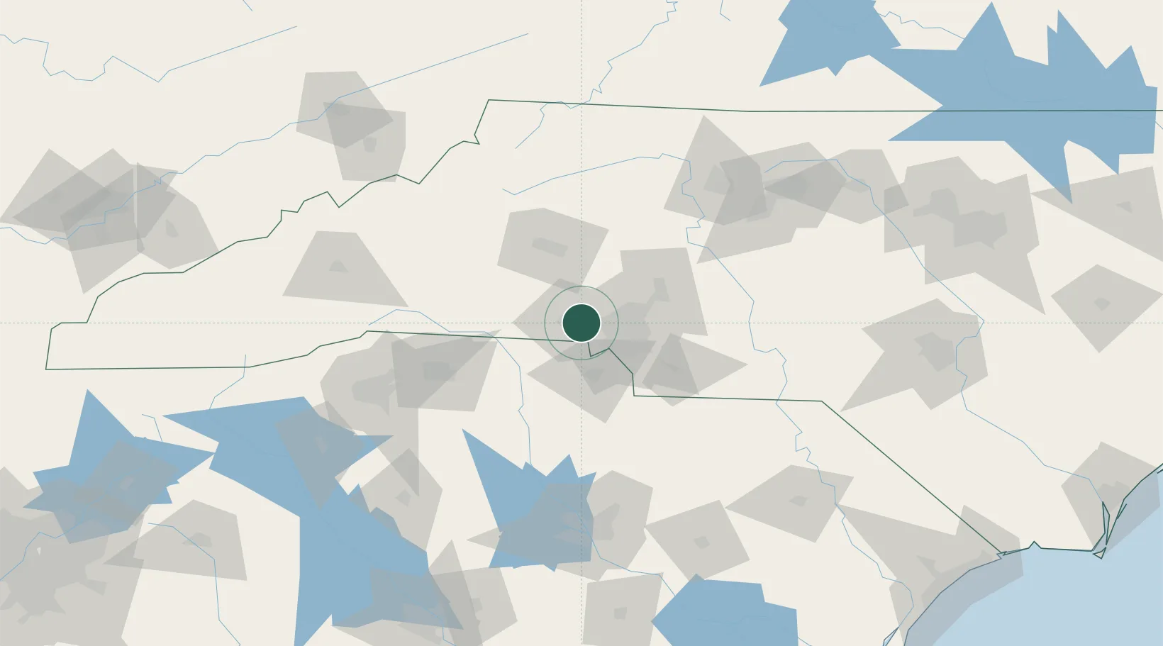
Hub Profile
Place type
Populated place
Region
North Carolina
Population
3,649
Time zone
America/New_York
Elevation
249 m
Location
Nearby Logistics Neighbours
Cities
- 1Cramerton5 km
- 2Toddville17 km
- 3Iron Station19 km
- 4Clover21 km
- 5Cornelius33 km
Ports
- 1Georgetown269 km
- 2Charleston297 km
- 3Wilmington310 km
- 4Beaufort318 km
- 5Southport320 km
Airports
Trade Zones
DatabookThe Record of Consolidated Knowledge
United States beyond logistics?