UN/LOCODE hub · United States
USZRC
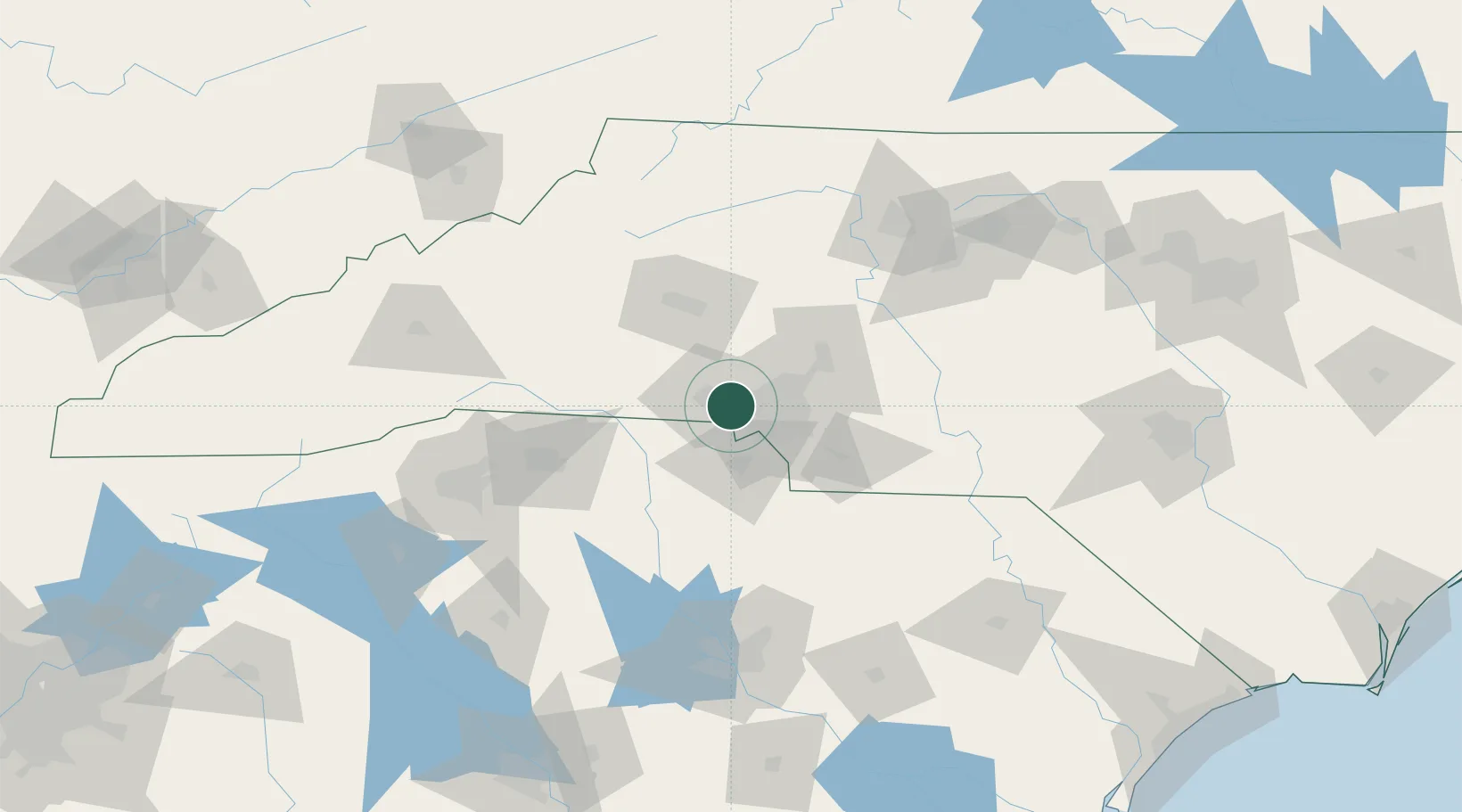
Cramerton
35.2333°, -81.0667°
4,328
Population
3
Transport functions
Transport Functions
Port
Road
Multimodal
Hub Profile
Place type
Populated place
Region
North Carolina
Population
4,328
Time zone
America/New_York
Elevation
186 m
Location
Nearby Logistics Neighbours
Cities
- 1Lowell5 km
- 2Toddville14 km
- 3Clover20 km
- 4Iron Station24 km
- 5Cornelius34 km
Ports
- 1Georgetown264 km
- 2Charleston292 km
- 3Wilmington306 km
- 4Beaufort314 km
- 5Southport315 km
Airports
Trade Zones
DatabookThe Record of Consolidated Knowledge
United States beyond logistics?