Transport Functions
Rail
Road
Multimodal
Hub Profile
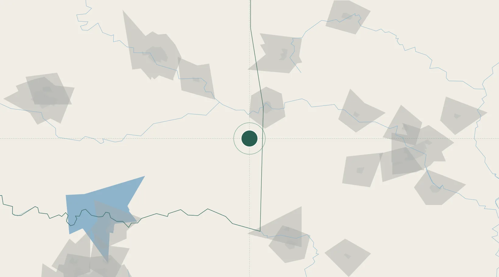
Place type
Populated place
Region
Oklahoma
Population
791
Time zone
America/Chicago
Elevation
149 m
Location
Nearby Logistics Neighbours
Ports
- 1Port Of Memphis407 km
- 2Lake Charles542 km
- 3Beaumont544 km
- 4Orange548 km
- 5Port Neches554 km
Airports
- 1Fort Smith Regional Airport49 km
- 2Mc Alester Regional Airport105 km
- 3Drake Field125 km
- 4Memorial Field Airport150 km
- 5Northwest Arkansas National Airport151 km
Trade Zones
- 1FTZ No. 164 Muskogee114 km
- 2FTZ No. 258 Bowie County164 km
- 3FTZ No. 053 Rogers County189 km
- 4FTZ No. 227 Durant193 km
- 5FTZ No. 014 Little Rock224 km
DatabookThe Record of Consolidated Knowledge
United States beyond logistics?