Transport Functions
Road
Multimodal
Hub Profile
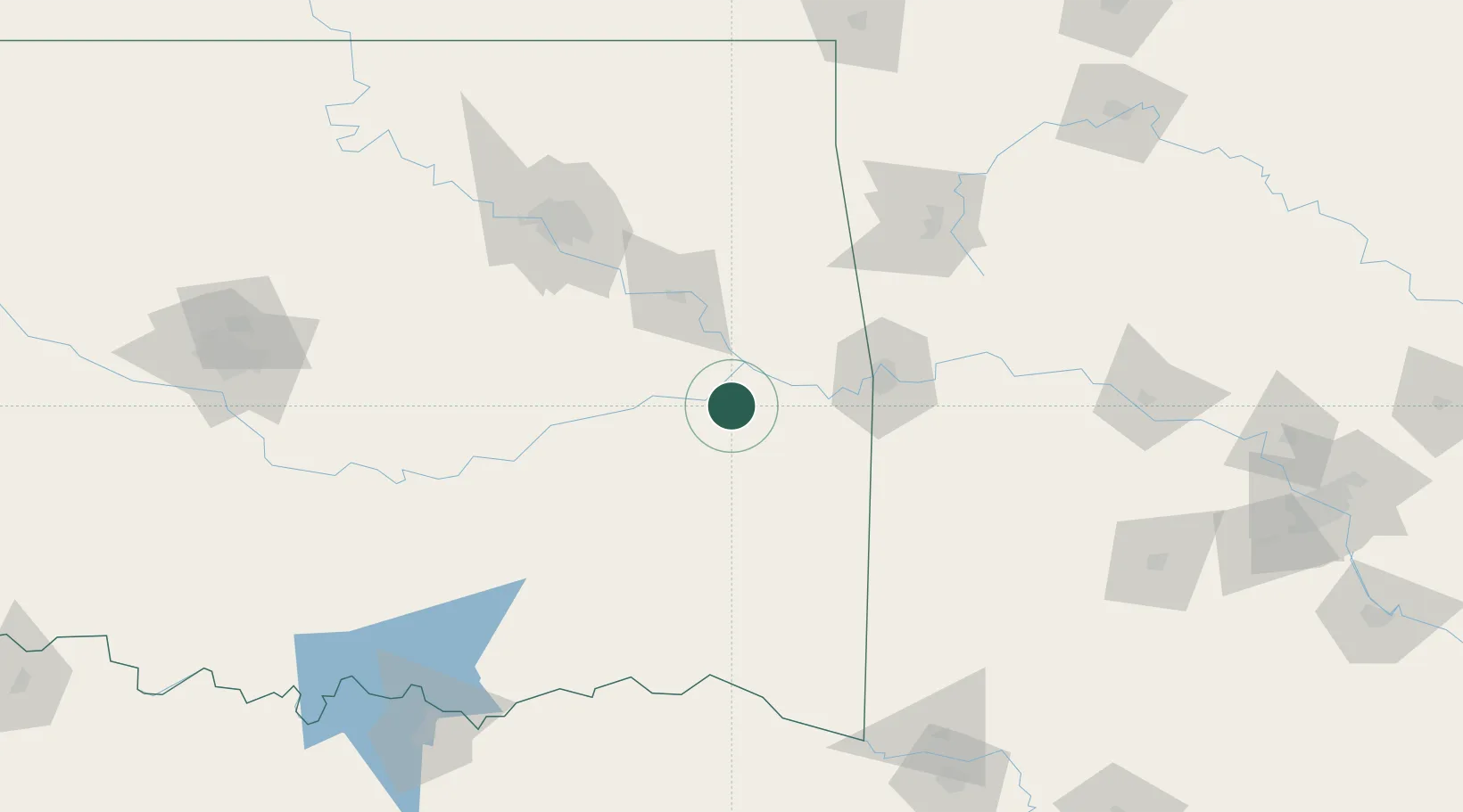
Place type
Provincial seat
Region
Oklahoma
Population
2,766
Time zone
America/Chicago
Elevation
175 m
Location
Nearby Logistics Neighbours
Ports
- 1Port Of Memphis450 km
- 2Beaumont583 km
- 3Lake Charles586 km
- 4Orange589 km
- 5Port Neches594 km
Airports
- 1Fort Smith Regional Airport69 km
- 2Mc Alester Regional Airport73 km
- 3Tulsa Riverside Airport118 km
- 4Drake Field120 km
- 5Tulsa International Airport126 km
Trade Zones
- 1FTZ No. 164 Muskogee61 km
- 2FTZ No. 053 Rogers County138 km
- 3FTZ No. 227 Durant181 km
- 4FTZ No. 258 Bowie County201 km
- 5FTZ No. 106 Oklahoma City220 km
DatabookThe Record of Consolidated Knowledge
United States beyond logistics?