Transport Functions
Multimodal
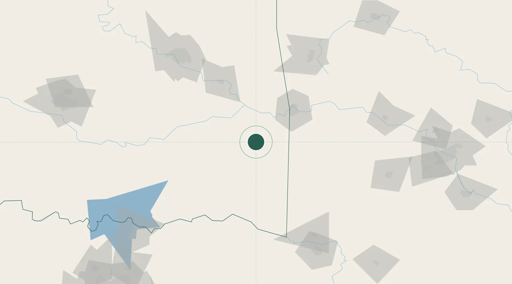
Hub Profile
Place type
Populated place
Region
Oklahoma
Population
407
Time zone
America/Chicago
Elevation
166 m
Location
Nearby Logistics Neighbours
Ports
- 1Port Of Memphis431 km
- 2Beaumont547 km
- 3Lake Charles549 km
- 4Orange552 km
- 5Port Neches558 km
Airports
- 1Fort Smith Regional Airport65 km
- 2Mc Alester Regional Airport81 km
- 3Drake Field135 km
- 4Cox Field155 km
- 5Tulsa Riverside Airport156 km
Trade Zones
- 1FTZ No. 164 Muskogee100 km
- 2FTZ No. 258 Bowie County165 km
- 3FTZ No. 227 Durant173 km
- 4FTZ No. 053 Rogers County177 km
- 5FTZ No. 106 Oklahoma City245 km
DatabookThe Record of Consolidated Knowledge
United States beyond logistics?