Medium airport · United States
Fort Smith Regional AirportKFSM
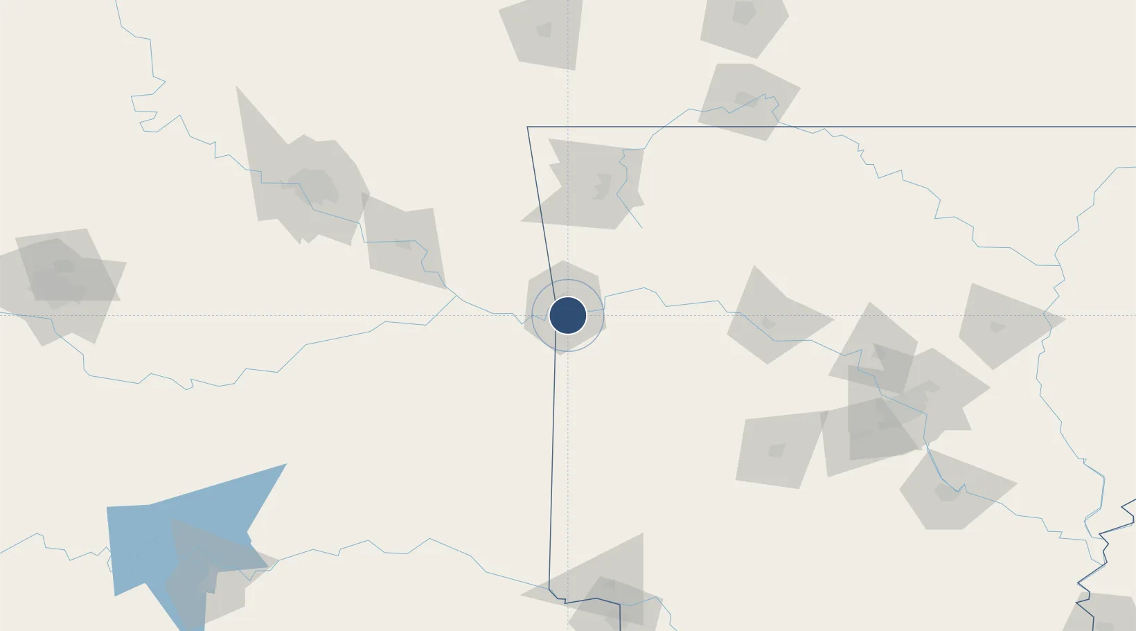
35.3366°, -94.3674°
8,000 ft
Longest runway
1
Runways
469 ft
Elevation
Runway & Layout

Radio Frequencies
ATIS
126.3 MHz
TWR
118.3 MHz
GND
121.9 MHz
CLD
133.85 MHz
CLNC DEL
APP
35.357 MHz
RAZORBACK APP
APP
120.175 MHz
RAZORBACK APP
DEP
120.9 MHz
RAZORBACK DEP
CTAF
118.3 MHz
RDO
122.2 MHz
JONESBORO RDO
UNIC
122.95 MHz
UNICOM
Navaids
FS NDB Wizer 223 kHz
FSM VORTAC Fort Smith 110.40 MHz
GK NDB Jembo 311 kHz
Runways · 1
| Runway | Dimensions | Surface | True heading | Lit |
|---|---|---|---|---|
| 07/25 | 8,000 × 150ft | Asphalt | 081° | ✓ |
Airport Specifications
IATA code
FSM
ICAO code
KFSM
Airport class
Medium airport
Scheduled service
Yes
Runway surface
Asphalt
Served city
Fort Smith
Location
Nearby Logistics Neighbours
Airports
- 1Drake Field76 km
- 2Northwest Arkansas National Airport105 km
- 3Mc Alester Regional Airport138 km
- 4Memorial Field Airport150 km
- 5Boone County Airport150 km
Cities
- 1Barling7 km
- 2Greenwood, Sebastian17 km
- 3Lavaca18 km
- 4Muldrow21 km
- 5Cameron27 km
Ports
- 1Port Of Memphis383 km
- 2Lake Charles579 km
- 3Beaumont585 km
- 4Orange587 km
- 5Port Neches595 km
Trade Zones
- 1FTZ No. 164 Muskogee107 km
- 2FTZ No. 053 Rogers County174 km
- 3FTZ No. 258 Bowie County209 km
- 4FTZ No. 014 Little Rock210 km
- 5FTZ No. 225 Springfield234 km
DatabookThe Record of Consolidated Knowledge
United States beyond logistics?