Transport Functions
Port
Multimodal
Hub Profile
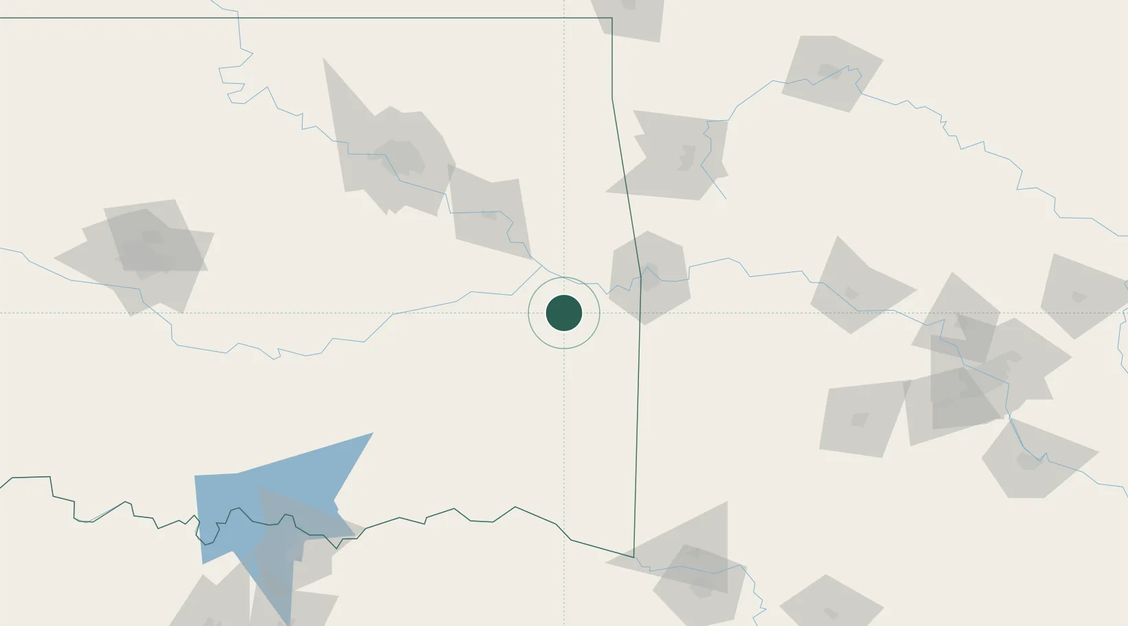
Place type
Populated place
Region
Oklahoma
Population
564
Time zone
America/Chicago
Elevation
153 m
Location
Nearby Logistics Neighbours
Ports
- 1Port Of Memphis432 km
- 2Beaumont571 km
- 3Lake Charles572 km
- 4Orange576 km
- 5Port Neches582 km
Airports
- 1Fort Smith Regional Airport53 km
- 2Mc Alester Regional Airport85 km
- 3Drake Field115 km
- 4Northwest Arkansas National Airport136 km
- 5Tulsa Riverside Airport137 km
Trade Zones
- 1FTZ No. 164 Muskogee79 km
- 2FTZ No. 053 Rogers County155 km
- 3FTZ No. 227 Durant187 km
- 4FTZ No. 258 Bowie County189 km
- 5FTZ No. 106 Oklahoma City239 km
DatabookThe Record of Consolidated Knowledge
United States beyond logistics?