Large airport · United States
Pittsburgh International AirportKPIT
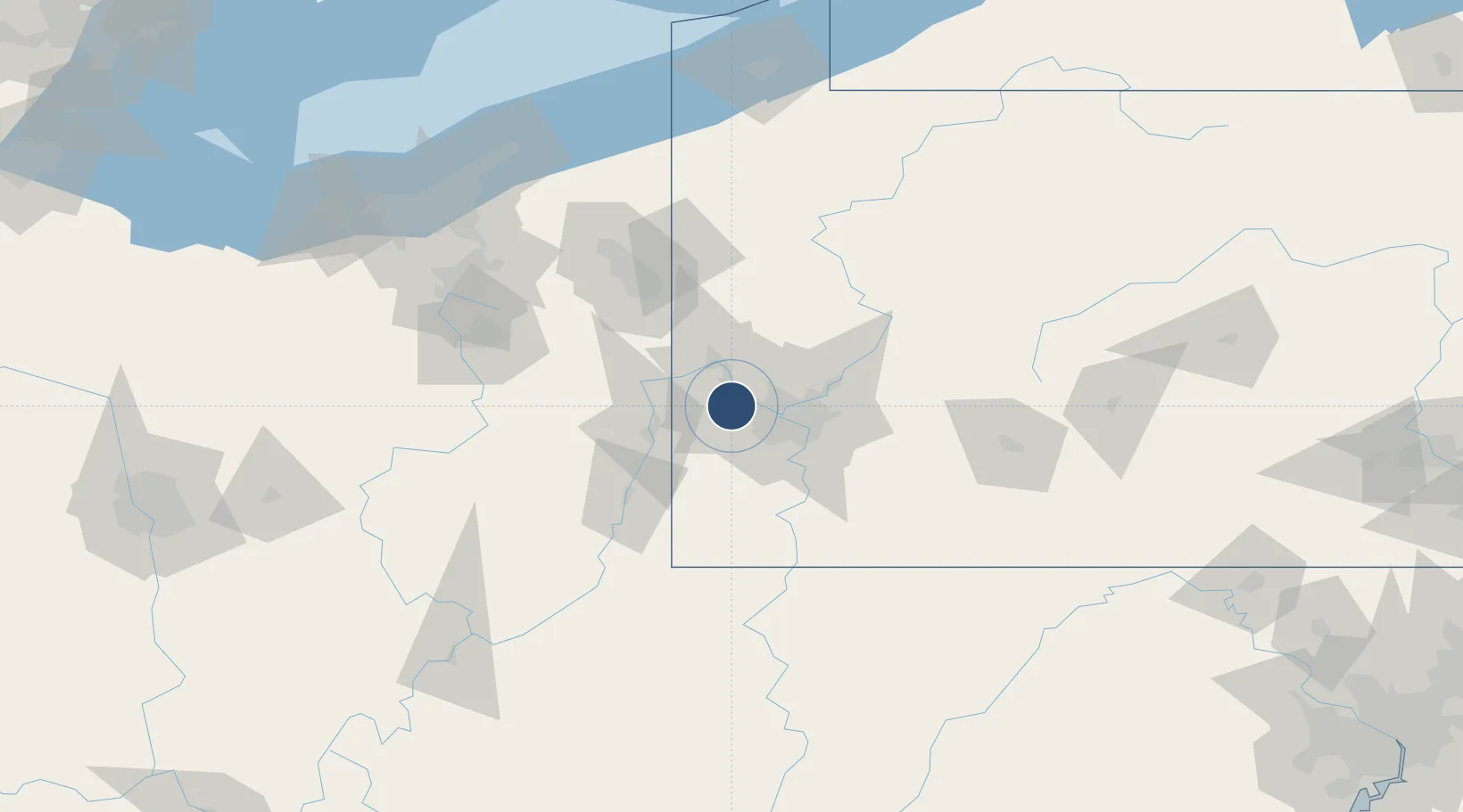
40.4915°, -80.2329°
11,500 ft
Longest runway
4
Runways
1,203 ft
Elevation
Runway & Layout

Radio Frequencies
ATIS
127.25 MHz
TWR
119.1 MHz
GND
121.9 MHz
CLD
126.75 MHz
CLNC DEL
APP
36.08 MHz
APP
120.875 MHz
DEP
118.65 MHz
OPS
31.1 MHz
ANG OPS
POST
25.21 MHz
PITT COMD POST
RDO
112 MHz
ALTOONA RDO
RMP
131.375 MHz
RAMP CON
UNIC
122.95 MHz
UNICOM
Navaids
MMJ VORTAC Montour 112.00 MHz
Runways · 4
| Runway | Dimensions | Surface | True heading | Lit |
|---|---|---|---|---|
| 10R/28L | 11,500 × 200ft | Concrete | 092° | ✓ |
| 10C/28C | 10,775 × 150ft | Asphalt / concrete | 092° | ✓ |
| 10L/28R | 10,502 × 150ft | Asphalt / concrete | 092° | ✓ |
| 14/32 | 8,101 × 150ft | Concrete | 136° | ✓ |
Airport Specifications
IATA code
PIT
ICAO code
KPIT
Airport class
Large airport
Scheduled service
Yes
Runway surface
Concrete
Served city
Pittsburgh
Location
Nearby Logistics Neighbours
Airports
Cities
- 1Crescent Township2 km
- 2Sewickley6 km
- 3Emsworth13 km
- 4Ohio13 km
- 5Crafton16 km
Trade Zones
- 1FTZ No. 033 Pittsburgh17 km
- 2FTZ No. 181 Akron Canton137 km
- 3FTZ No. 295 Central Pennsylvania144 km
- 4FTZ No. 254 Jefferson County163 km
- 5FTZ No. 040 Cleveland176 km
DatabookThe Record of Consolidated Knowledge
United States beyond logistics?