Transport Functions
Port
Road
Multimodal
Hub Profile
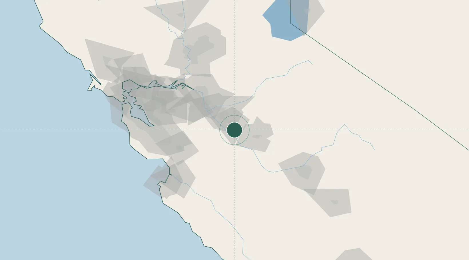
Place type
Populated place
Region
California
Time zone
America/Los_Angeles
Elevation
28 m
Location
Nearby Logistics Neighbours
Cities
- 1Livingston11 km
- 2Denair15 km
- 3Keyes18 km
- 4Westley36 km
- 5Riverbank38 km
Ports
- 1Stockton74 km
- 2Moss108 km
- 3Isleton109 km
- 4Antioch109 km
- 5Walnut Grove110 km
Airports
Trade Zones
DatabookThe Record of Consolidated Knowledge
United States beyond logistics?