UN/LOCODE hub · United States
USLGS
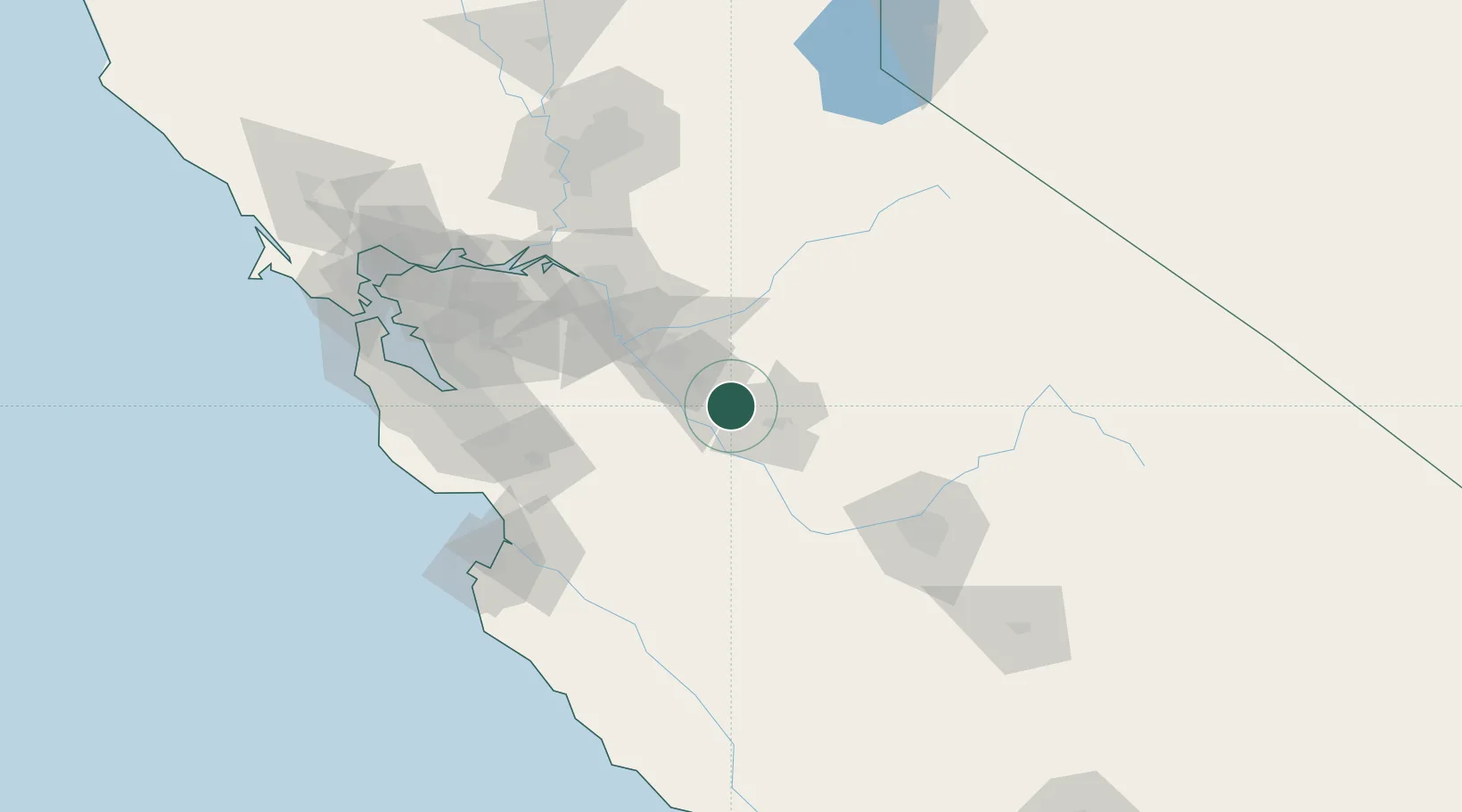
Livingston
37.3833°, -120.7167°
13,902
Population
3
Transport functions
Transport Functions
Rail
Road
Multimodal
Hub Profile
Place type
Populated place
Region
California
Population
13,902
Time zone
America/Los_Angeles
Elevation
40 m
Location
Nearby Logistics Neighbours
Cities
- 1Hilmar11 km
- 2Denair18 km
- 3Keyes25 km
- 4Riverbank43 km
- 5Sierra Vista46 km
Ports
- 1Stockton81 km
- 2Moss115 km
- 3Isleton117 km
- 4Walnut Grove118 km
- 5Antioch119 km
Airports
Trade Zones
- 1FTZ No. 226 Merced, Madera and Fresno Counties23 km
- 2FTZ No. 231 Stockton83 km
- 3FTZ No. 018 San Jose103 km
- 4FTZ No. 056 Oakland145 km
- 5FTZ No. 143 West Sacramento151 km
DatabookThe Record of Consolidated Knowledge
United States beyond logistics?