UN/LOCODE hub · United States
USCO9
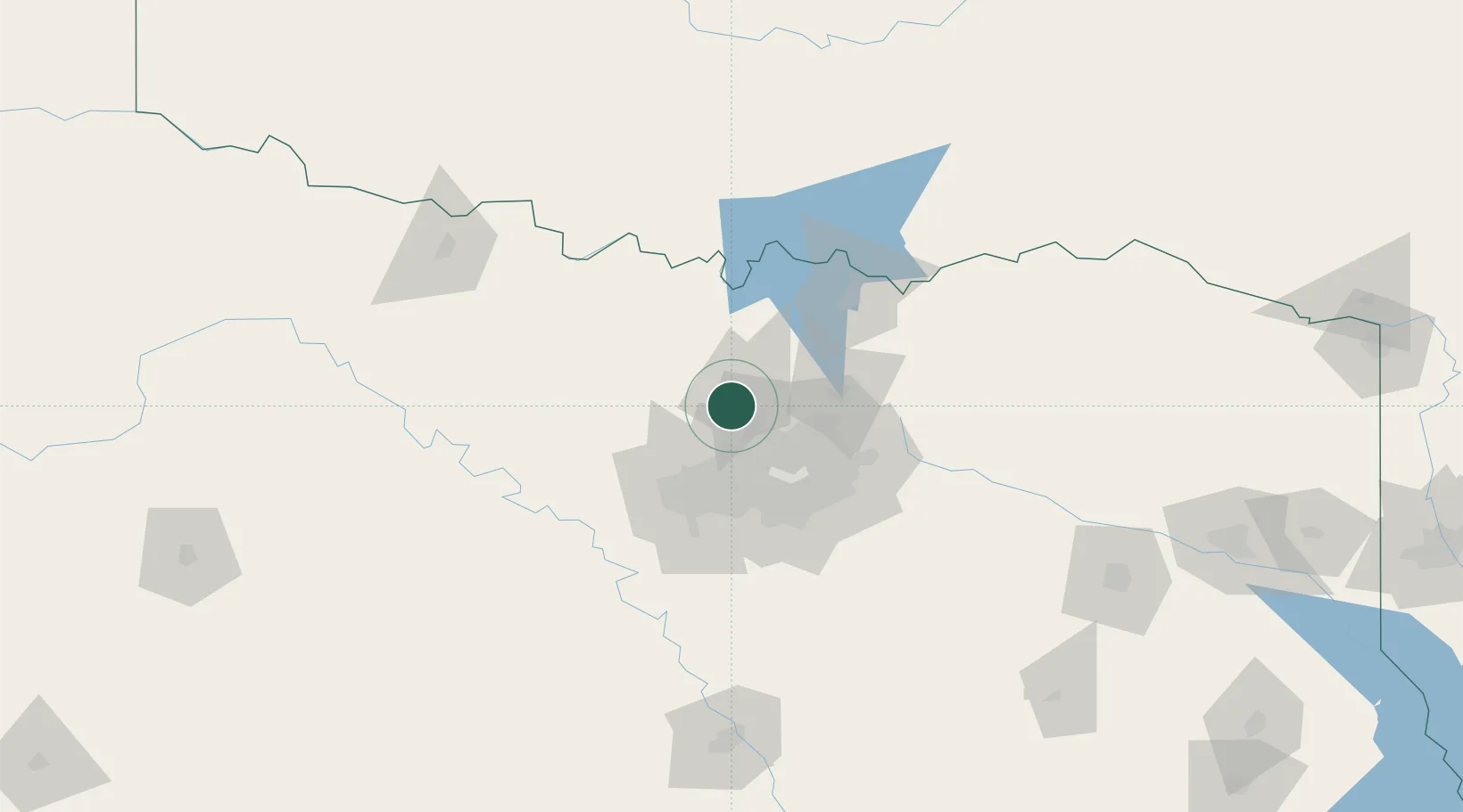
Copper Canyon
33.1667°, -97.1500°
1,431
Population
4
Transport functions
Transport Functions
Port
Rail
Road
Multimodal
Hub Profile
Place type
Populated place
Region
Texas
Population
1,431
Time zone
America/Chicago
Elevation
190 m
Location
Nearby Logistics Neighbours
Cities
- 1Hickory Creek12 km
- 2Lake Dallas14 km
- 3Justin15 km
- 4Westlake21 km
- 5Sanger22 km
Airports
Trade Zones
- 1FTZ No. 196 Fort Worth57 km
- 2FTZ No. 168 Dallas Fort Worth59 km
- 3FTZ No. 113 Ellis County97 km
- 4FTZ No. 039 Dallas Fort Worth99 km
- 5FTZ No. 227 Durant117 km
DatabookThe Record of Consolidated Knowledge
United States beyond logistics?