Transport Functions
Road
Multimodal
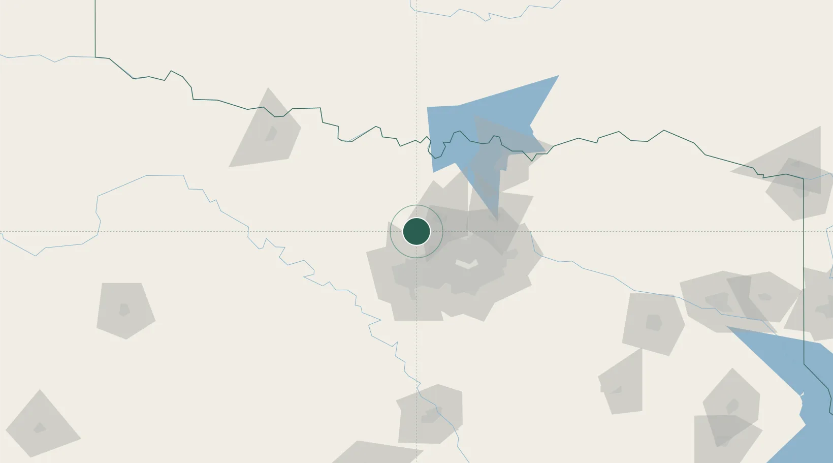
Hub Profile
Place type
Populated place
Region
Texas
Population
3,437
Time zone
America/Chicago
Elevation
196 m
Logistics facilities
1
Location
Nearby Logistics Neighbours
Cities
- 1Copper Canyon15 km
- 2Westlake17 km
- 3Haslet18 km
- 4Newark21 km
- 5Hickory Creek25 km
Airports
Trade Zones
- 1FTZ No. 196 Fort Worth43 km
- 2FTZ No. 168 Dallas Fort Worth46 km
- 3FTZ No. 039 Dallas Fort Worth84 km
- 4FTZ No. 113 Ellis County94 km
- 5FTZ No. 227 Durant130 km
DatabookThe Record of Consolidated Knowledge
United States beyond logistics?