Transport Functions
Road
Multimodal
Hub Profile
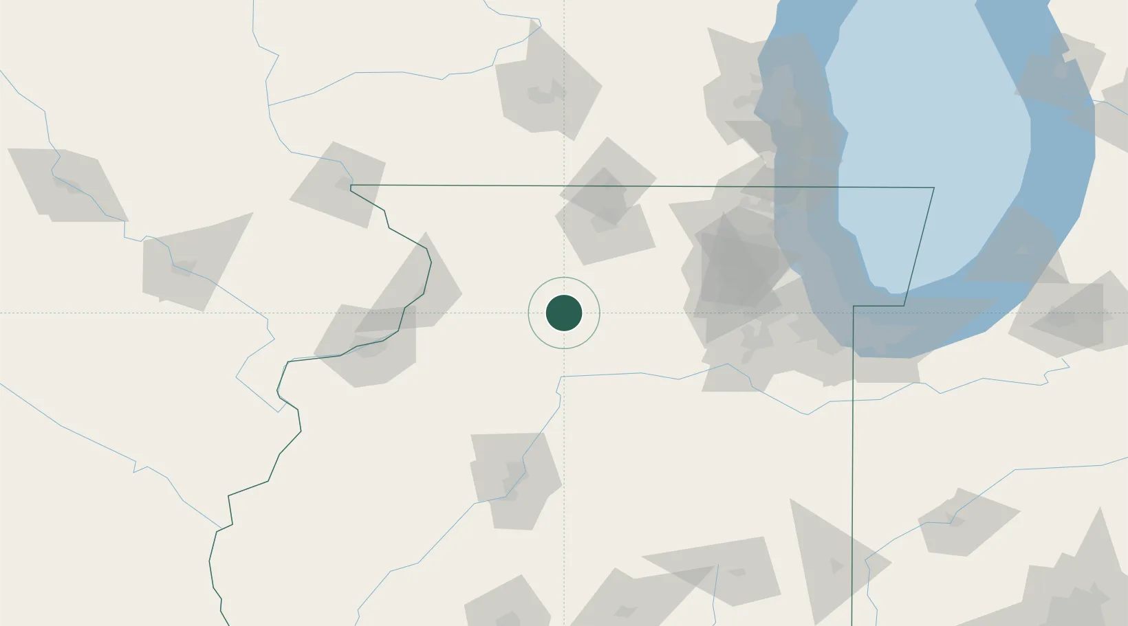
Place type
Populated place
Region
Illinois
Time zone
America/Chicago
Elevation
229 m
Location
Nearby Logistics Neighbours
Cities
- 1Harmon20 km
- 2Sterling31 km
- 3Lee33 km
- 4Troy Grove35 km
- 5Princeton41 km
Ports
- 1Great Lakes139 km
- 2Wilmette141 km
- 3Waukegan143 km
- 4Chicago144 km
- 5Calumet Harbor149 km
Airports
Trade Zones
- 1FTZ No. 176 Rockford60 km
- 2FTZ No. 271 Jo-Daviess and Carroll Counties101 km
- 3FTZ No. 114 Peoria116 km
- 4FTZ No. 022 Chicago121 km
- 5FTZ No. 292 Lake County136 km
DatabookThe Record of Consolidated Knowledge
United States beyond logistics?