Transport Functions
Rail
Road
Hub Profile
Place type
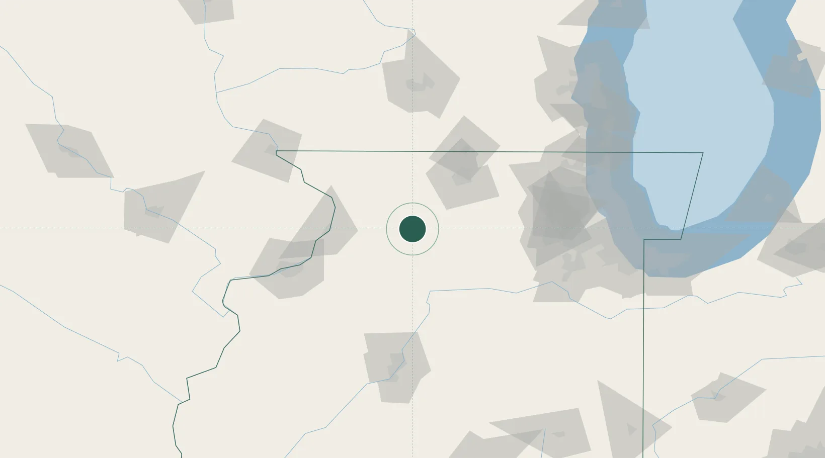
Populated place
Region
Illinois
Population
120
Time zone
America/Chicago
Elevation
206 m
Logistics facilities
1
Location
Nearby Logistics Neighbours
Cities
- 1Sterling18 km
- 2Binghampton20 km
- 3Milledgeville27 km
- 4Forreston31 km
- 5Byron36 km
Ports
- 1Great Lakes145 km
- 2Waukegan149 km
- 3Wilmette151 km
- 4Chicago156 km
- 5Kenosha160 km
Airports
Trade Zones
- 1FTZ No. 176 Rockford51 km
- 2FTZ No. 271 Jo-Daviess and Carroll Counties81 km
- 3FTZ No. 114 Peoria129 km
- 4FTZ No. 022 Chicago134 km
- 5FTZ No. 266 Dane County137 km
DatabookThe Record of Consolidated Knowledge
United States beyond logistics?