Transport Functions
Port
Rail
Road
Hub Profile
Place type
Populated place
Region
Massachusetts
Time zone
America/New_York
Elevation
59 m
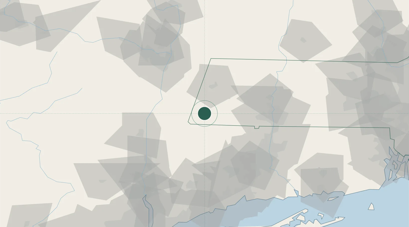
Location
Nearby Logistics Neighbours
Cities
- 1Sheffield6 km
- 2Southfield11 km
- 3Copake Falls16 km
- 4Canaan17 km
- 5Lenox Dale20 km
Ports
- 1Catskill43 km
- 2Kingston58 km
- 3Albany64 km
- 4Rensselaer64 km
- 5Troy70 km
Airports
Trade Zones
- 1FTZ No. 201 Holyoke52 km
- 2FTZ No. 071 Windsor Locks64 km
- 3FTZ No. 121 Albany73 km
- 4FTZ No. 268 Brattleboro98 km
- 5FTZ No. 162 New Haven102 km
DatabookThe Record of Consolidated Knowledge
United States beyond logistics?