Transport Functions
Port
Rail
Road
Hub Profile
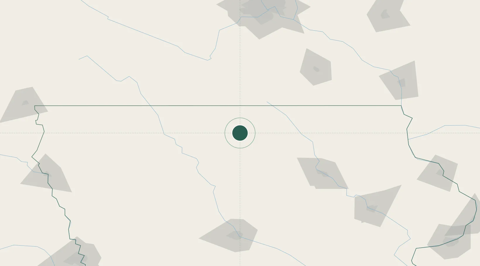
Place type
Provincial seat
Region
Iowa
Population
3,107
Time zone
America/Chicago
Elevation
369 m
Location
Nearby Logistics Neighbours
Cities
- 1Kanawha24 km
- 2Belmond28 km
- 3Lake Mills36 km
- 4Sheffield39 km
- 5Goldfield48 km
Airports
Trade Zones
- 1FTZ No. 107 Polk County159 km
- 2FTZ No. 175 Cedar Rapids194 km
- 3FTZ No. 288 Northwest Iowa201 km
- 4FTZ No. 119 Minneapolis-St. Paul210 km
- 5FTZ No. 220 Sioux Falls263 km
DatabookThe Record of Consolidated Knowledge
United States beyond logistics?