Transport Functions
Road
Multimodal
Hub Profile
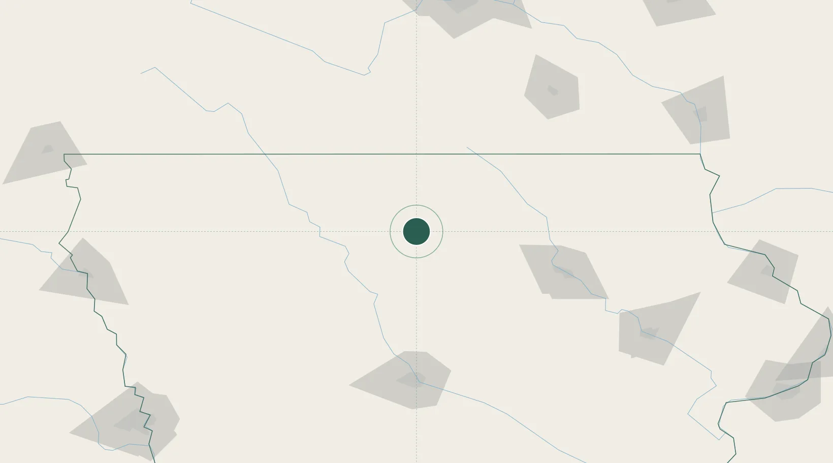
Place type
Populated place
Region
Iowa
Population
2,314
Time zone
America/Chicago
Elevation
359 m
Location
Nearby Logistics Neighbours
Cities
- 1Kanawha15 km
- 2Goldfield27 km
- 3Garner28 km
- 4Sheffield34 km
- 5Blairsburg41 km
Airports
Trade Zones
- 1FTZ No. 107 Polk County131 km
- 2FTZ No. 175 Cedar Rapids180 km
- 3FTZ No. 288 Northwest Iowa202 km
- 4FTZ No. 119 Minneapolis-St. Paul238 km
- 5FTZ No. 220 Sioux Falls268 km
DatabookThe Record of Consolidated Knowledge
United States beyond logistics?