Transport Functions
Road
Multimodal
Hub Profile
Place type
Populated place
Region
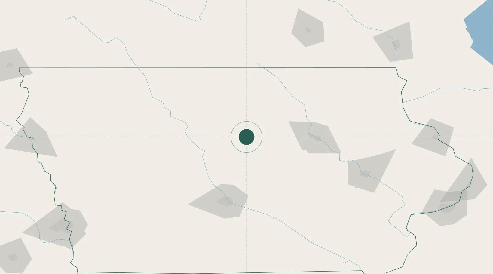
Iowa
Population
764
Time zone
America/Chicago
Elevation
339 m
Location
Nearby Logistics Neighbours
Cities
- 1Blairsburg24 km
- 2New Providence31 km
- 3Jewell34 km
- 4Ellsworth39 km
- 5Sheffield43 km
Ports
- 1Milwaukee451 km
- 2Kenosha455 km
- 3Great Lakes455 km
- 4Waukegan456 km
- 5Kaukauna456 km
Airports
Trade Zones
DatabookThe Record of Consolidated Knowledge
United States beyond logistics?