Transport Functions
Road
Multimodal
Hub Profile
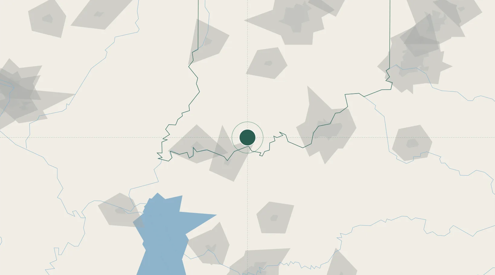
Place type
Populated place
Region
Indiana
Time zone
America/Chicago
Elevation
148 m
Location
Nearby Logistics Neighbours
Cities
- 1Saint Meinrad6 km
- 2Santa Claus7 km
- 3Troy13 km
- 4Saint Anthony20 km
- 5Lewisport21 km
Ports
- 1Gary392 km
- 2Indiana Harbor398 km
- 3Michigan City402 km
- 4Calumet Harbor406 km
- 5Chicago424 km
Airports
Trade Zones
- 1FTZ No. 177 Evansville70 km
- 2FTZ No. 029 Louisville92 km
- 3FTZ No. 072 Indianapolis184 km
- 4FTZ No. 294 Western Kentucky193 km
- 5FTZ No. 047 Boone County194 km
DatabookThe Record of Consolidated Knowledge
United States beyond logistics?