Transport Functions
Road
Multimodal
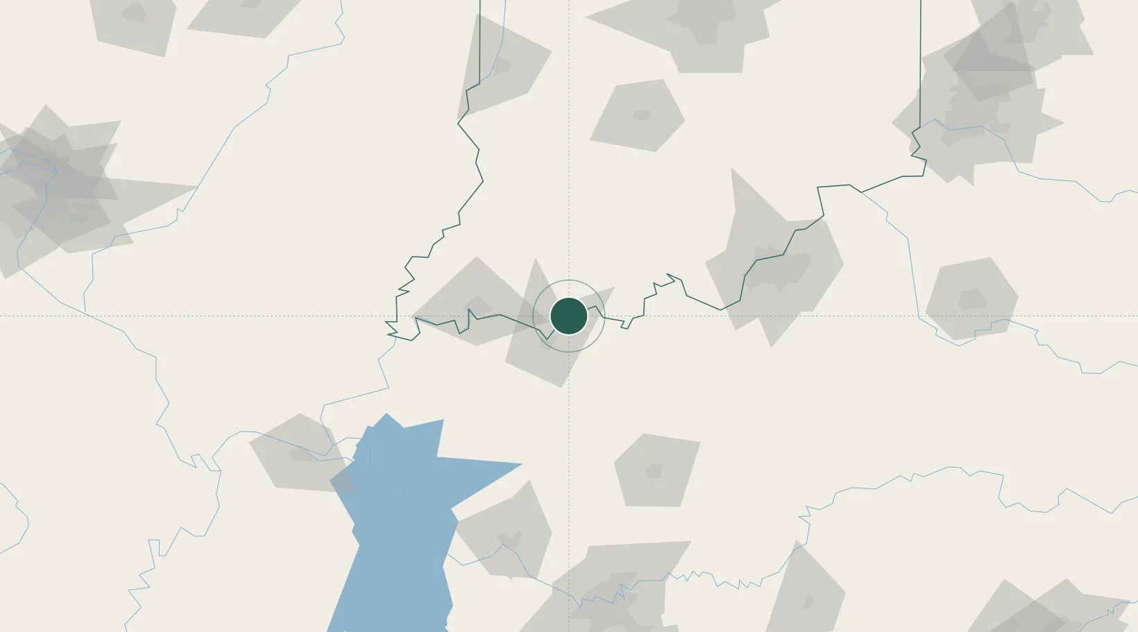
Hub Profile
Place type
Populated place
Region
Indiana
Population
727
Time zone
America/Chicago
Elevation
120 m
Location
Nearby Logistics Neighbours
Cities
- 1Lewisport7 km
- 2Maceo9 km
- 3Troy18 km
- 4Cannelton21 km
- 5Hawesville21 km
Ports
- 1Gary411 km
- 2Indiana Harbor417 km
- 3Michigan City423 km
- 4Calumet Harbor425 km
- 5Port Of Memphis427 km
Airports
Trade Zones
- 1FTZ No. 177 Evansville56 km
- 2FTZ No. 029 Louisville110 km
- 3FTZ No. 294 Western Kentucky171 km
- 4FTZ No. 078 Nashville194 km
- 5FTZ No. 072 Indianapolis207 km
DatabookThe Record of Consolidated Knowledge
United States beyond logistics?