Transport Functions
Port
Rail
Road
Multimodal
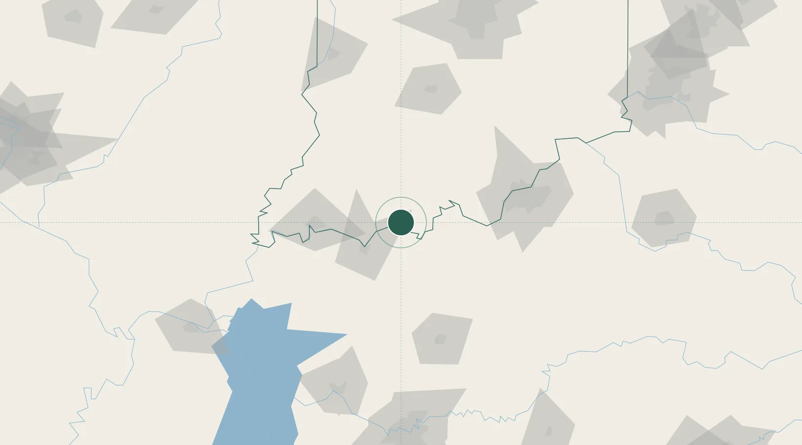
Hub Profile
Place type
Populated place
Region
Indiana
Population
371
Time zone
America/Indiana/Tell_City
Elevation
144 m
Location
Nearby Logistics Neighbours
Cities
- 1Cannelton10 km
- 2Lewisport12 km
- 3Hawesville12 km
- 4Fulda13 km
- 5Santa Claus17 km
Ports
- 1Gary405 km
- 2Indiana Harbor411 km
- 3Michigan City415 km
- 4Calumet Harbor420 km
- 5Chicago437 km
Airports
Trade Zones
- 1FTZ No. 177 Evansville71 km
- 2FTZ No. 029 Louisville93 km
- 3FTZ No. 294 Western Kentucky188 km
- 4FTZ No. 072 Indianapolis196 km
- 5FTZ No. 047 Boone County198 km
DatabookThe Record of Consolidated Knowledge
United States beyond logistics?