UN/LOCODE hub · United States
USLWD
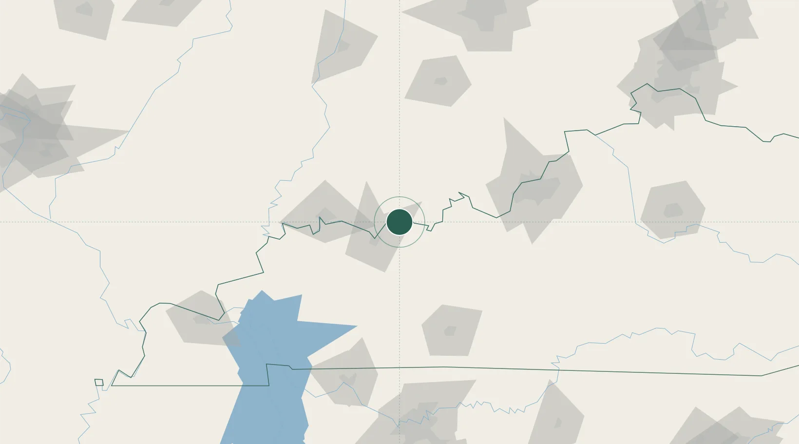
Lewisport
37.9333°, -86.9000°
1,698
Population
4
Transport functions
Transport Functions
Port
Rail
Road
Multimodal
Hub Profile
Place type
Populated place
Region
Kentucky
Population
1,698
Time zone
America/Chicago
Elevation
121 m
Location
Nearby Logistics Neighbours
Cities
- 1Grandview7 km
- 2Troy12 km
- 3Maceo12 km
- 4Cannelton13 km
- 5Hawesville14 km
Ports
- 1Gary411 km
- 2Indiana Harbor418 km
- 3Michigan City423 km
- 4Calumet Harbor426 km
- 5Port Of Memphis432 km
Airports
Trade Zones
- 1FTZ No. 177 Evansville63 km
- 2FTZ No. 029 Louisville103 km
- 3FTZ No. 294 Western Kentucky177 km
- 4FTZ No. 078 Nashville195 km
- 5FTZ No. 072 Indianapolis205 km
DatabookThe Record of Consolidated Knowledge
United States beyond logistics?