Transport Functions
Rail
Road
Multimodal
Hub Profile
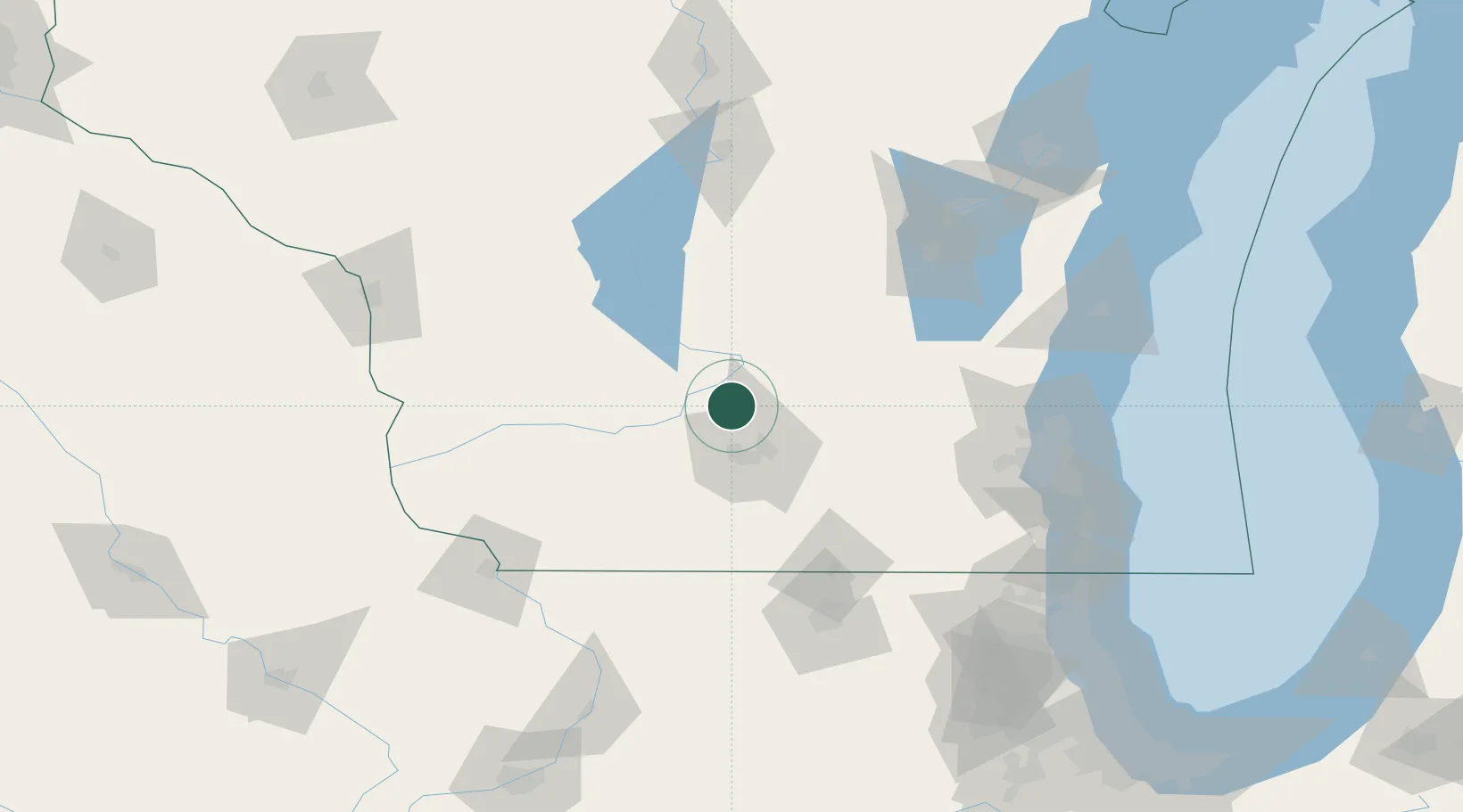
Place type
Populated place
Region
Wisconsin
Population
3,052
Time zone
America/Chicago
Elevation
250 m
Location
Nearby Logistics Neighbours
Cities
- 1Dane6 km
- 2Prairie du Sac16 km
- 3Sauk City17 km
- 4Maple Bluff24 km
- 5Mazomanie26 km
Ports
- 1Port Washington134 km
- 2Milwaukee136 km
- 3Kaukauna148 km
- 4Racine154 km
- 5Sheboygan155 km
Airports
Trade Zones
- 1FTZ No. 266 Dane County30 km
- 2FTZ No. 041 Milwaukee117 km
- 3FTZ No. 176 Rockford119 km
- 4FTZ No. 271 Jo-Daviess and Carroll Counties124 km
- 5FTZ No. 167 Brown County162 km
DatabookThe Record of Consolidated Knowledge
United States beyond logistics?