Transport Functions
Multimodal
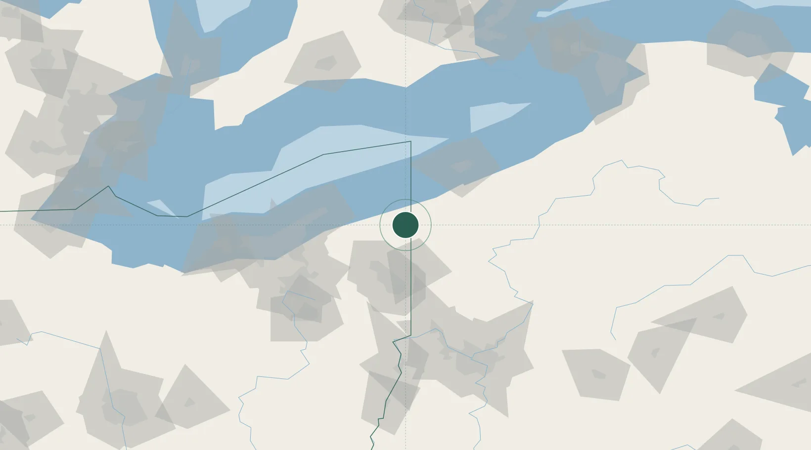
Hub Profile
Place type
Populated place
Region
Ohio
Population
1,119
Time zone
America/New_York
Elevation
333 m
Location
Nearby Logistics Neighbours
Cities
- 1Kinsman, Trumbull17 km
- 2Conneautville24 km
- 3Rock Creek24 km
- 4Johnston25 km
- 5Transfer34 km
Airports
Trade Zones
- 1FTZ No. 247 Erie69 km
- 2FTZ No. 040 Cleveland107 km
- 3FTZ No. 181 Akron Canton121 km
- 4FTZ No. 033 Pittsburgh137 km
- 5FTZ No. 254 Jefferson County153 km
DatabookThe Record of Consolidated Knowledge
United States beyond logistics?