Transport Functions
Rail
Road
Hub Profile
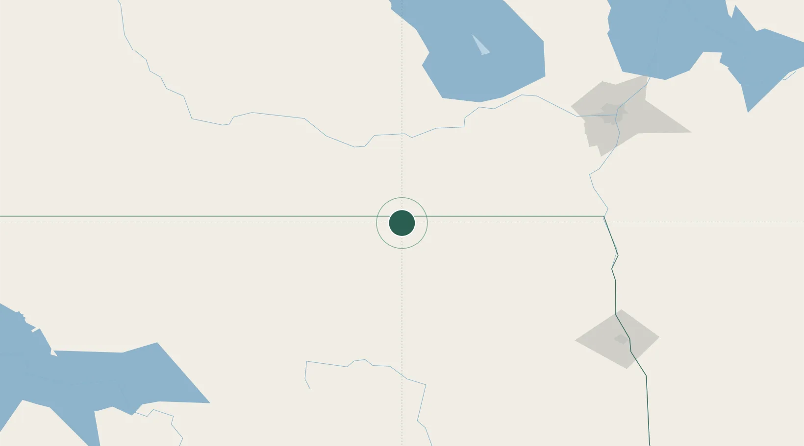
Place type
Populated place
Region
North Dakota
Population
27
Time zone
America/Chicago
Elevation
483 m
Location
Nearby Logistics Neighbours
Cities
- 1Crystal City22 km
- 2Snowflake27 km
- 3Manitou47 km
- 4Rolla47 km
- 5Killarney56 km
Ports
- 1Duluth567 km
- 2Superior571 km
- 3Two Harbors586 km
- 4Grand Marais652 km
- 5Bayfield653 km
Airports
Trade Zones
- 1Winnipegs Centreport Canada171 km
- 2FTZ No. 103 Grand Forks175 km
- 3FTZ No. 267 Fargo276 km
- 4FTZ No. 259 Koochiching County351 km
- 5Global Transportation Hub Authority448 km
DatabookThe Record of Consolidated Knowledge
United States beyond logistics?