Medium airport · Canada

Brandon Municipal AirportCYBR
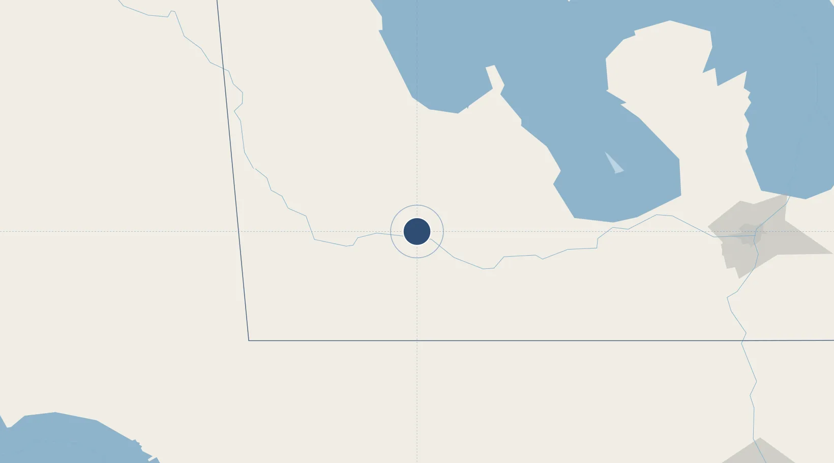
49.9100°, -99.9519°
6,500 ft
Longest runway
2
Runways
1,343 ft
Elevation

Runway & Layout

Brandon Municipal Airport runway & taxiway layout
Runway & taxiway layout — OpenStreetMap (ODbL) / OurAirports

Radio Frequencies

A/G
122.1 MHz
MF
CNTR
132.25 MHz
WINNIPEG CNTR
RCO
126.7 MHz
WINNIPEG RDO
RDO
122.1 MHz
OurAirports

Navaids

BR NDB Brandon 233 kHz
YBR VORTAC Brandon 113.80 MHz
OurAirports

Runways · 2

RunwayDimensions SurfaceTrue headingLit
08/26 6,500 × 150ft Asphalt 090°
14/32 3,000 × 60ft Gravel 150°
OurAirports

Airport Specifications

IATA code
YBR
OurAirports
ICAO code
CYBR
OurAirports
Airport class
Medium airport
OurAirports
Scheduled service
Yes
OurAirports
Runway surface
Asphalt
OurAirports
Served city
Brandon
OurAirports

Location

Location of CYBR
Natural Earth 10m (public domain) · Manitoba · CYBR · 49.91, -99.95GoogleOSMYandex

Nearby Logistics Neighbours

Airports
  1. 1Virden / RJ (Bob) Andrew Field Regional Aerodrome69 km
  2. 2Portage-la-Prairie / Southport Airport120 km
  3. 3Dauphin Barker Airport133 km
  4. 4Winnipeg / James Armstrong Richardson International Airport194 km
  5. 5Minot Air Force Base195 km
Nearest neighbours — logibook spatial index (haversine) over the source coordinates
Cities
  1. 1Rapid City24 km
  2. 2Shilo25 km
  3. 3Minnedosa39 km
  4. 4Carberry43 km
  5. 5Stockton51 km
Nearest neighbours — logibook spatial index (haversine) over the source coordinates
Ports
  1. 1Duluth677 km
  2. 2Superior681 km
  3. 3Two Harbors691 km
  4. 4Grand Marais743 km
  5. 5Bayfield758 km
Nearest neighbours — logibook spatial index (haversine) over the source coordinates
Trade Zones
  1. 1Winnipegs Centreport Canada202 km
  2. 2FTZ No. 103 Grand Forks301 km
  3. 3Global Transportation Hub Authority347 km
  4. 4FTZ No. 267 Fargo405 km
  5. 5FTZ No. 259 Koochiching County449 km
Nearest neighbours — logibook spatial index (haversine) over the source coordinates
DatabookThe Record of Consolidated Knowledge
Canada beyond logistics?
Browse databook

All Sources

AirportsOurAirports
Public domain
Portsthe NGA World Port Index
Public domain (US gov)
LocationsUN/LOCODE
UN/LOCODE — free
Trade Zonesthe World Bank SEZ database
CC BY 4.0
Trade ZonesOpen Zone Map
CC BY
InfrastructureOpenStreetMap
ODbL 1.0
← Canada airports