Transport Functions
Road
Multimodal
Hub Profile
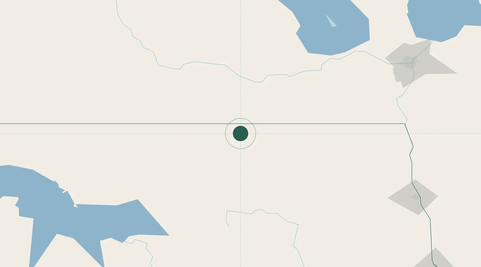
Place type
Provincial seat
Region
North Dakota
Population
1,325
Time zone
America/Chicago
Elevation
553 m
Location
Nearby Logistics Neighbours
Cities
- 1Killarney37 km
- 2Sarles47 km
- 3Boissevain52 km
- 4Crystal City58 km
- 5Dunrea64 km
Ports
- 1Duluth607 km
- 2Superior611 km
- 3Two Harbors627 km
- 4Bayfield695 km
- 5Washburn696 km
Airports
Trade Zones
- 1FTZ No. 103 Grand Forks208 km
- 2Winnipegs Centreport Canada214 km
- 3FTZ No. 267 Fargo297 km
- 4FTZ No. 259 Koochiching County395 km
- 5Global Transportation Hub Authority410 km
DatabookThe Record of Consolidated Knowledge
United States beyond logistics?