Medium airport · United States

Grand Forks Air Force BaseKRDR
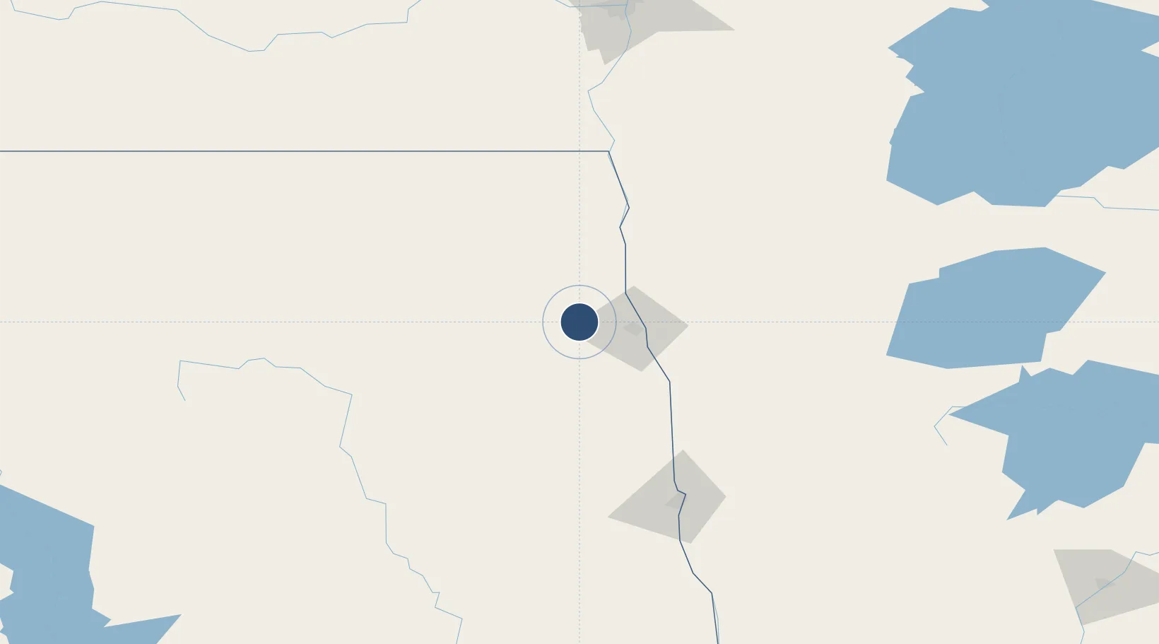
47.9611°, -97.4012°
12,350 ft
Longest runway
1
Runways
913 ft
Elevation

Runway & Layout

Grand Forks Air Force Base runway & taxiway layout
Runway & taxiway layout — OpenStreetMap (ODbL) / OurAirports

Radio Frequencies

ATIS
27.345 MHz
TWR
124.9 MHz
RED RIVER TWR
GND
119.15 MHz
CLD
119.15 MHz
CLNC DEL
A/D
118.1 MHz
APP/DEP
PMSV
34.35 MHz
PMSV METRO
POST
31.1 MHz
COMD POST
PTD
37.22 MHz
RDO
122.2 MHz
OurAirports

Navaids

RDR TACAN Red River 116.40 MHz
OurAirports

Runways · 1

RunwayDimensions SurfaceTrue headingLit
17/35 12,350 × 150ft Asphalt 180°
OurAirports

Airport Specifications

IATA code
RDR
OurAirports
ICAO code
KRDR
OurAirports
Airport class
Medium airport
OurAirports
Scheduled service
No
OurAirports
Runway surface
Asphalt
OurAirports
Served city
Grand Forks
OurAirports

Location

Location of KRDR
Natural Earth 10m (public domain) · North Dakota · KRDR · 47.96, -97.40GoogleOSMYandex

Nearby Logistics Neighbours

Airports
  1. 1Grand Forks International Airport17 km
  2. 2Thief River Falls Regional Airport91 km
  3. 3Devils Lake Regional Airport113 km
  4. 4Hector International Airport124 km
  5. 5Jamestown Regional Airport150 km
Nearest neighbours — logibook spatial index (haversine) over the source coordinates
Cities
  1. 1Larimore19 km
  2. 2Hatton37 km
  3. 3Alvarado40 km
  4. 4Buxton47 km
  5. 5Warren53 km
Nearest neighbours — logibook spatial index (haversine) over the source coordinates
Ports
  1. 1Duluth421 km
  2. 2Superior424 km
  3. 3Two Harbors445 km
  4. 4Washburn512 km
  5. 5Bayfield512 km
Nearest neighbours — logibook spatial index (haversine) over the source coordinates
Trade Zones
  1. 1FTZ No. 103 Grand Forks18 km
  2. 2FTZ No. 267 Fargo127 km
  3. 3Winnipegs Centreport Canada216 km
  4. 4FTZ No. 259 Koochiching County232 km
  5. 5FTZ No. 051 Duluth410 km
Nearest neighbours — logibook spatial index (haversine) over the source coordinates
DatabookThe Record of Consolidated Knowledge
United States beyond logistics?
Browse databook

All Sources

AirportsOurAirports
Public domain
Portsthe NGA World Port Index
Public domain (US gov)
LocationsUN/LOCODE
UN/LOCODE — free
Trade Zonesthe World Bank SEZ database
CC BY 4.0
Trade ZonesOpen Zone Map
CC BY
InfrastructureOpenStreetMap
ODbL 1.0
← United States airports