Transport Functions
Rail
Road
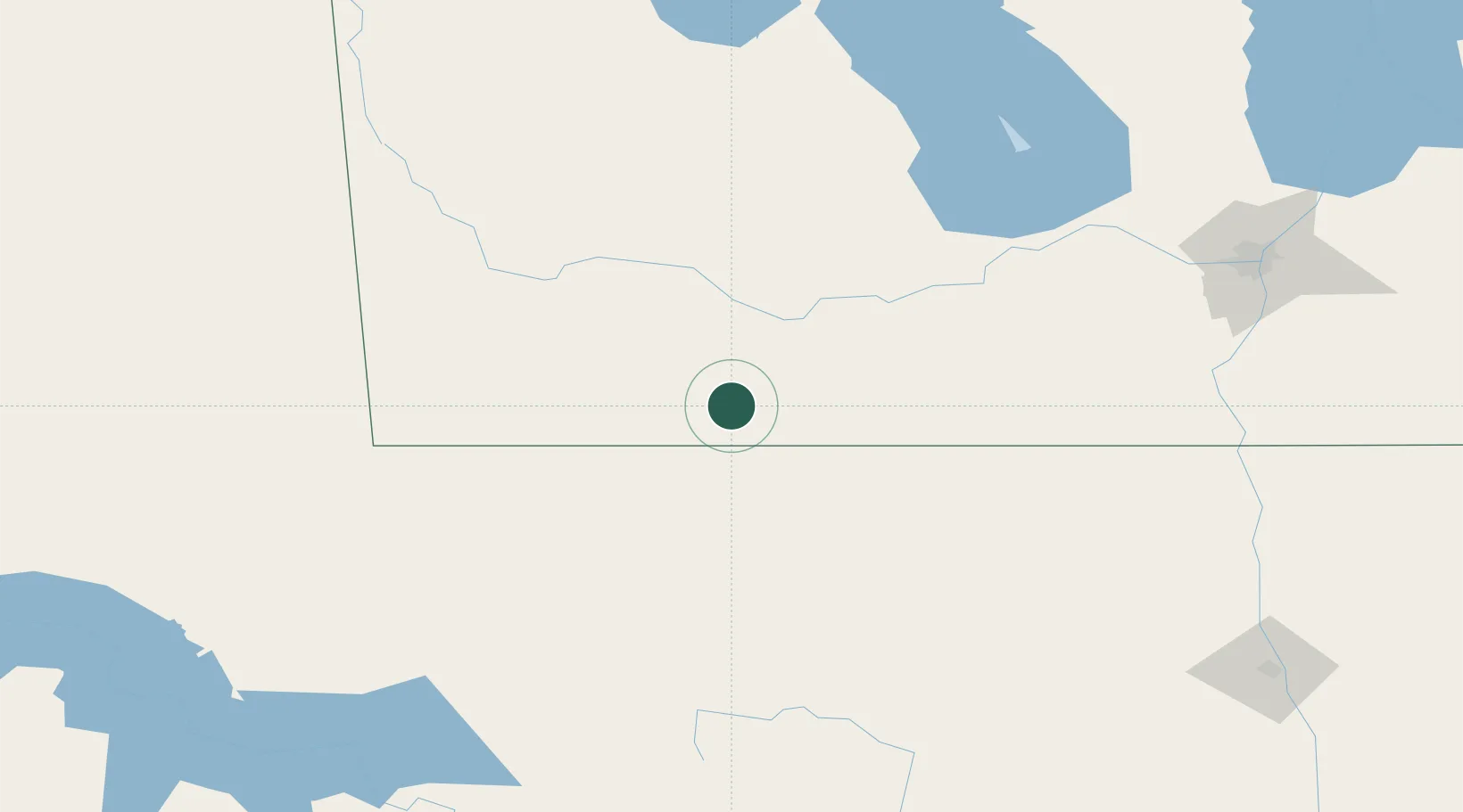
Hub Profile
Place type
Populated place
Region
Manitoba
Population
2,362
Time zone
America/Winnipeg
Elevation
495 m
Location
Nearby Logistics Neighbours
Cities
- 1Dunrea27 km
- 2Boissevain29 km
- 3Margaret30 km
- 4Rolla37 km
- 5Stockton47 km
Ports
- 1Duluth623 km
- 2Superior627 km
- 3Two Harbors641 km
- 4Grand Marais705 km
- 5Bayfield708 km
Airports
Trade Zones
- 1Winnipegs Centreport Canada198 km
- 2FTZ No. 103 Grand Forks231 km
- 3FTZ No. 267 Fargo327 km
- 4Global Transportation Hub Authority392 km
- 5FTZ No. 259 Koochiching County404 km
DatabookThe Record of Consolidated Knowledge
Canada beyond logistics?