Transport Functions
Rail
Road
Hub Profile
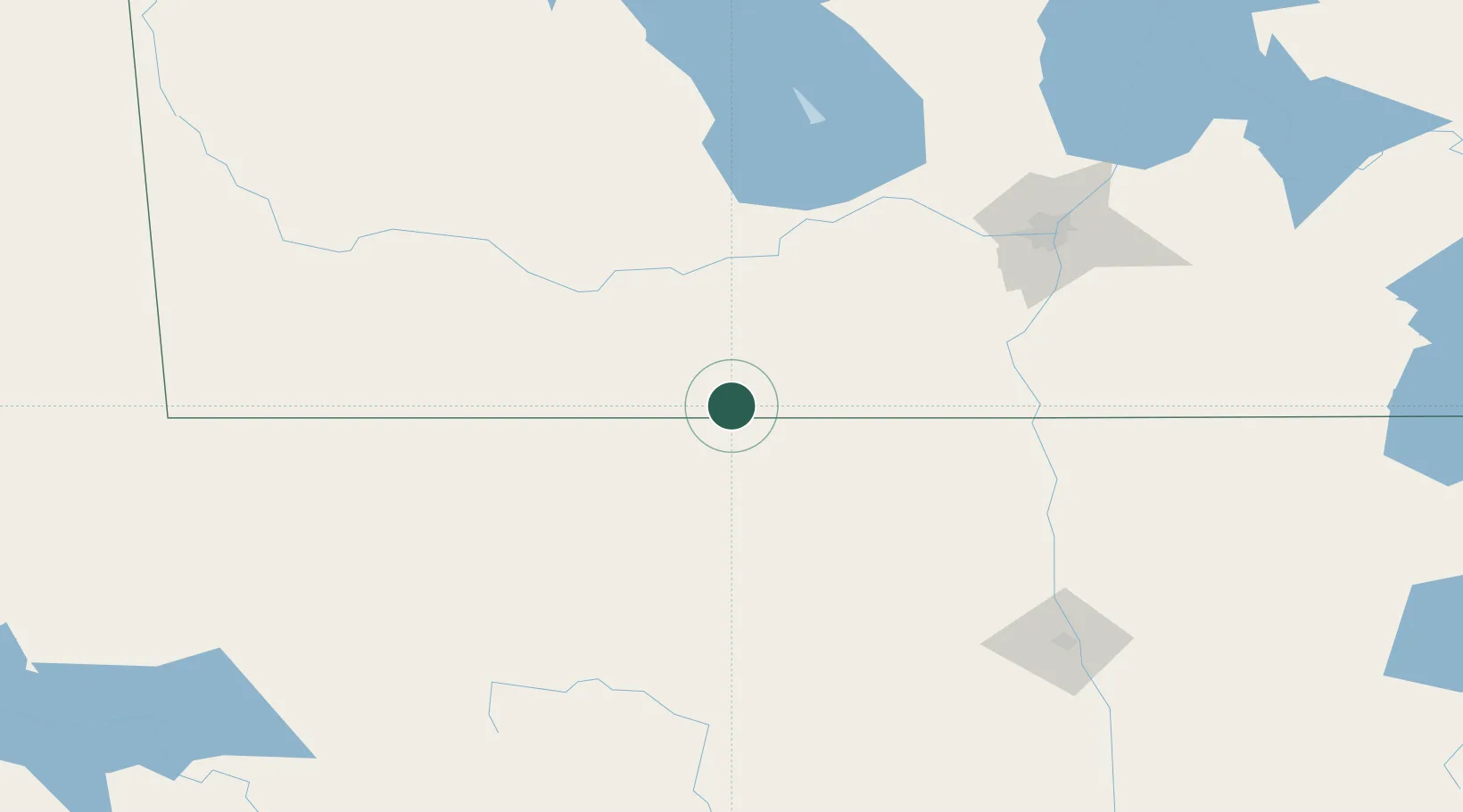
Region
MB
Location
Nearby Logistics Neighbours
Cities
- 1Manitou23 km
- 2Crystal City23 km
- 3Sarles27 km
- 4Notre-Dame-de-Lourdes54 km
- 5Winkler55 km
Ports
- 1Duluth551 km
- 2Superior555 km
- 3Two Harbors568 km
- 4Grand Marais632 km
- 5Bayfield636 km
Airports
Trade Zones
- 1Winnipegs Centreport Canada145 km
- 2FTZ No. 103 Grand Forks168 km
- 3FTZ No. 267 Fargo275 km
- 4FTZ No. 259 Koochiching County331 km
- 5Global Transportation Hub Authority464 km
DatabookThe Record of Consolidated Knowledge
Canada beyond logistics?