Medium airport · United States
Devils Lake Regional AirportKDVL
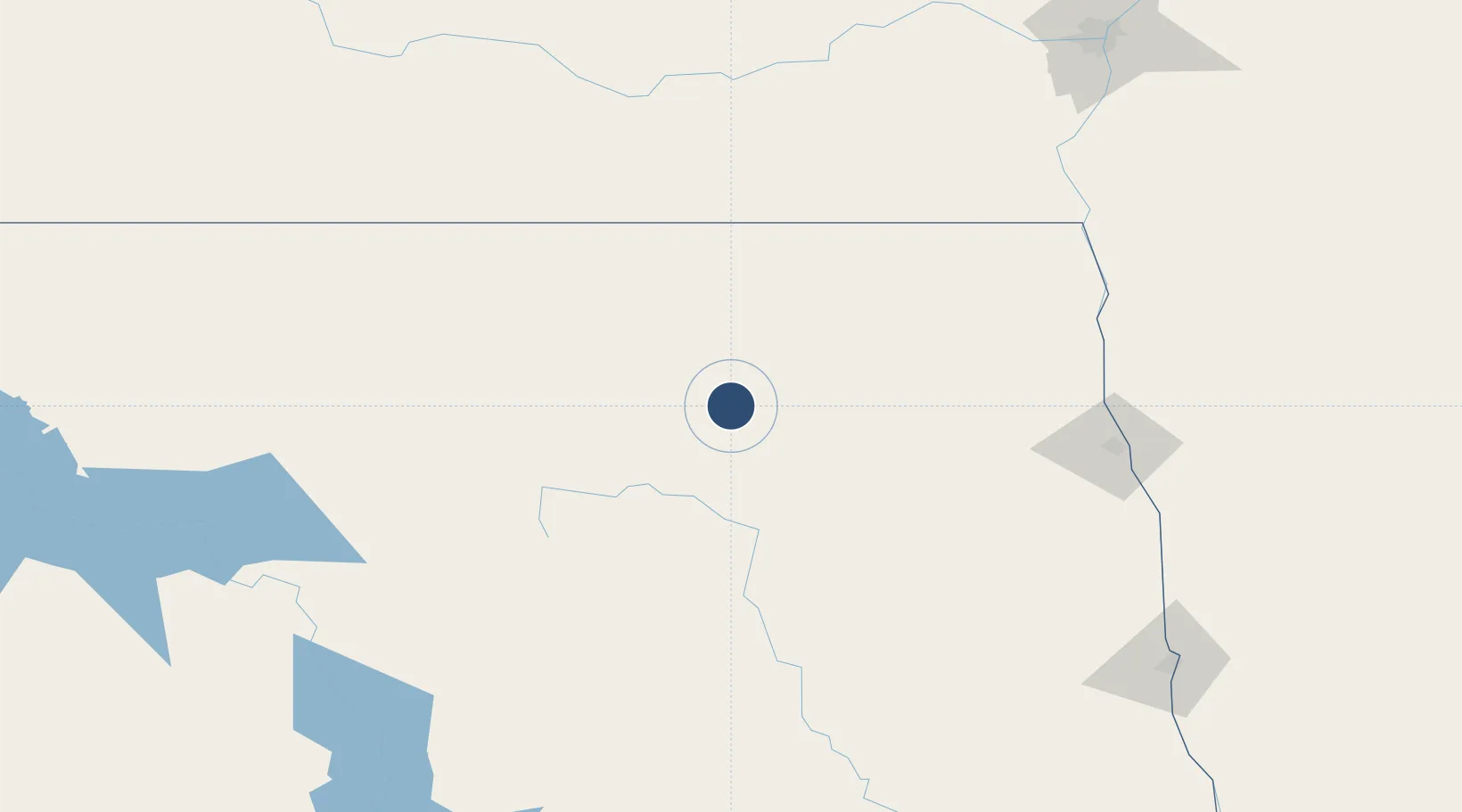
48.1155°, -98.9088°
6,400 ft
Longest runway
2
Runways
1,456 ft
Elevation
Runway & Layout

Radio Frequencies
AWOS
125.875 MHz
AWOS 3
RDO
122.3 MHz
GRAND FORKS RDO
UNIC
122.8 MHz
CTAF/UNICOM
Runways · 2
| Runway | Dimensions | Surface | True heading | Lit |
|---|---|---|---|---|
| 13/31 | 6,400 × 100ft | Asphalt | 138° | ✓ |
| 03/21 | 4,314 × 75ft | Asphalt | 045° | ✓ |
Airport Specifications
IATA code
DVL
ICAO code
KDVL
Airport class
Medium airport
Scheduled service
Yes
Runway surface
Asphalt
Served city
Devils Lake
Location
Nearby Logistics Neighbours
Airports
- 1Grand Forks Air Force Base113 km
- 2Grand Forks International Airport130 km
- 3Jamestown Regional Airport133 km
- 4Minot International Airport176 km
- 5Minot Air Force Base184 km
Cities
- 1Sarles91 km
- 2Cooperstown95 km
- 3Rolla97 km
- 4Larimore98 km
- 5Snowflake105 km
Ports
- 1Duluth533 km
- 2Superior537 km
- 3Two Harbors558 km
- 4Washburn625 km
- 5Bayfield625 km
Trade Zones
- 1FTZ No. 103 Grand Forks131 km
- 2FTZ No. 267 Fargo202 km
- 3Winnipegs Centreport Canada236 km
- 4FTZ No. 259 Koochiching County341 km
- 5Global Transportation Hub Authority497 km
DatabookThe Record of Consolidated Knowledge
United States beyond logistics?