Transport Functions
Port
Rail
Road
Multimodal
Hub Profile
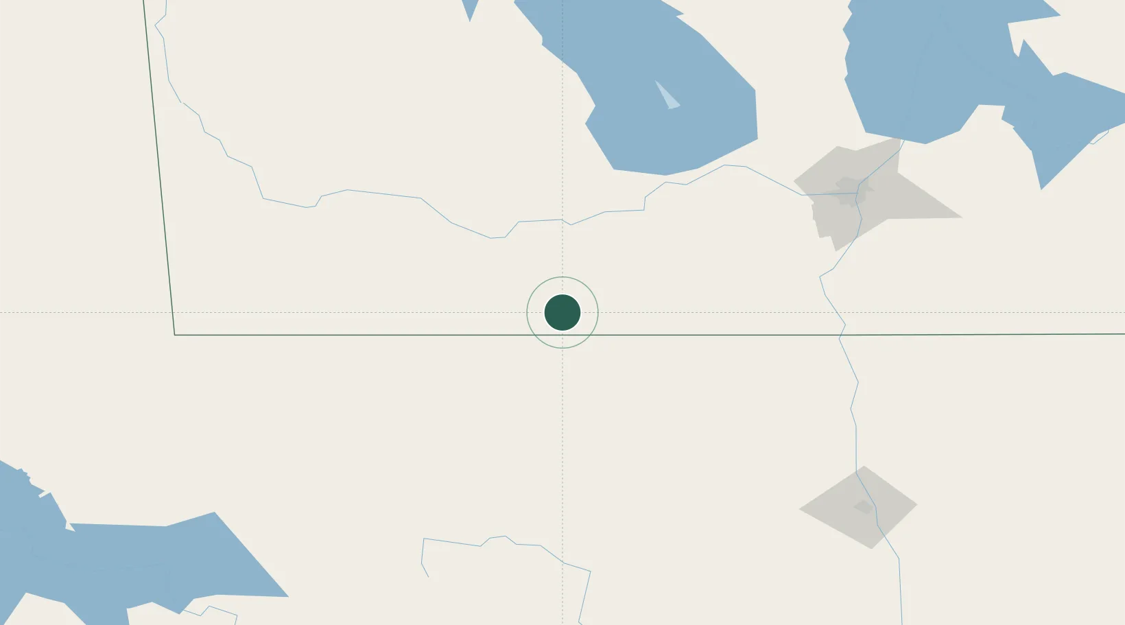
Place type
Populated place
Region
Manitoba
Time zone
America/Winnipeg
Elevation
463 m
Location
Nearby Logistics Neighbours
Cities
- 1Sarles22 km
- 2Snowflake23 km
- 3Manitou32 km
- 4Killarney51 km
- 5Notre-Dame-de-Lourdes53 km
Ports
- 1Duluth574 km
- 2Superior578 km
- 3Two Harbors591 km
- 4Grand Marais654 km
- 5Bayfield658 km
Airports
Trade Zones
- 1Winnipegs Centreport Canada156 km
- 2FTZ No. 103 Grand Forks188 km
- 3FTZ No. 267 Fargo293 km
- 4FTZ No. 259 Koochiching County353 km
- 5Global Transportation Hub Authority441 km
DatabookThe Record of Consolidated Knowledge
Canada beyond logistics?