Transport Functions
Rail
Road
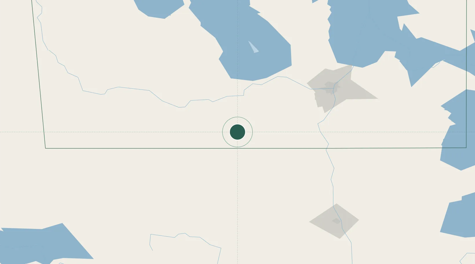
Hub Profile
Place type
Populated place
Region
Manitoba
Time zone
America/Winnipeg
Elevation
492 m
Location
Nearby Logistics Neighbours
Cities
- 1Snowflake23 km
- 2Crystal City32 km
- 3Notre-Dame-de-Lourdes33 km
- 4Winkler44 km
- 5Sarles47 km
Ports
- 1Duluth551 km
- 2Superior556 km
- 3Two Harbors567 km
- 4Grand Marais626 km
- 5Bayfield634 km
Airports
Trade Zones
- 1Winnipegs Centreport Canada125 km
- 2FTZ No. 103 Grand Forks178 km
- 3FTZ No. 267 Fargo289 km
- 4FTZ No. 259 Koochiching County327 km
- 5Global Transportation Hub Authority466 km
DatabookThe Record of Consolidated Knowledge
Canada beyond logistics?