Transport Functions
Rail
Road
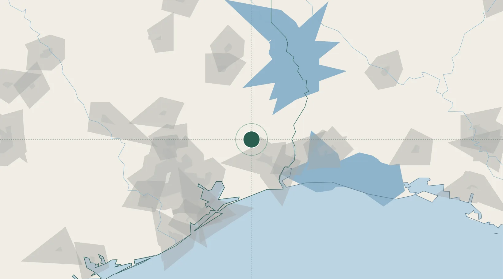
Hub Profile
Place type
Provincial seat
Region
Texas
Population
2,083
Time zone
America/Chicago
Elevation
26 m
Location
Nearby Logistics Neighbours
Ports
- 1Beaumont39 km
- 2Port Neches54 km
- 3Orange64 km
- 4Port Arthur68 km
- 5Sabine Pass81 km
Airports
Trade Zones
- 1FTZ No. 115 Beaumont34 km
- 2FTZ No. 117 Orange50 km
- 3FTZ No. 116 Port Arthur63 km
- 4FTZ No. 171 Liberty County76 km
- 5FTZ No. 087 Lake Charles94 km
DatabookThe Record of Consolidated Knowledge
United States beyond logistics?