Transport Functions
Rail
Road
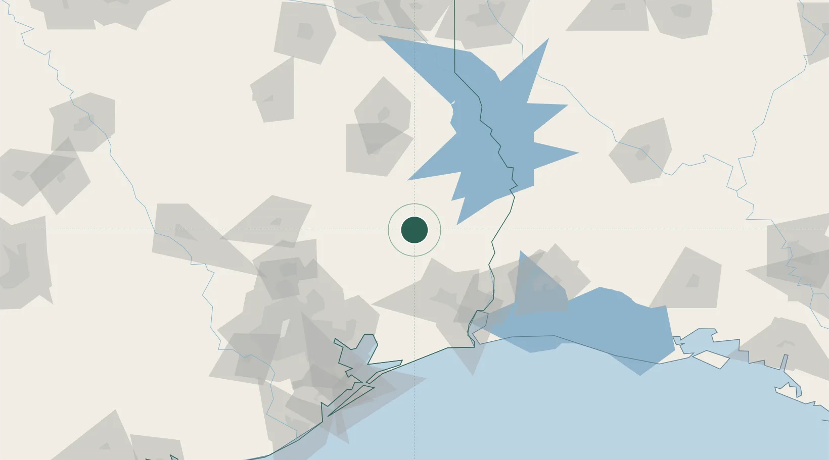
Hub Profile
Place type
Populated place
Region
Texas
Time zone
America/Chicago
Elevation
58 m
Location
Nearby Logistics Neighbours
Ports
- 1Beaumont71 km
- 2Port Neches85 km
- 3Orange90 km
- 4Port Arthur101 km
- 5Sabine Pass114 km
Airports
Trade Zones
- 1FTZ No. 115 Beaumont68 km
- 2FTZ No. 117 Orange77 km
- 3FTZ No. 297 Lufkin83 km
- 4FTZ No. 171 Liberty County86 km
- 5FTZ No. 116 Port Arthur97 km
DatabookThe Record of Consolidated Knowledge
United States beyond logistics?