Transport Functions
Rail
Road
Multimodal
Hub Profile
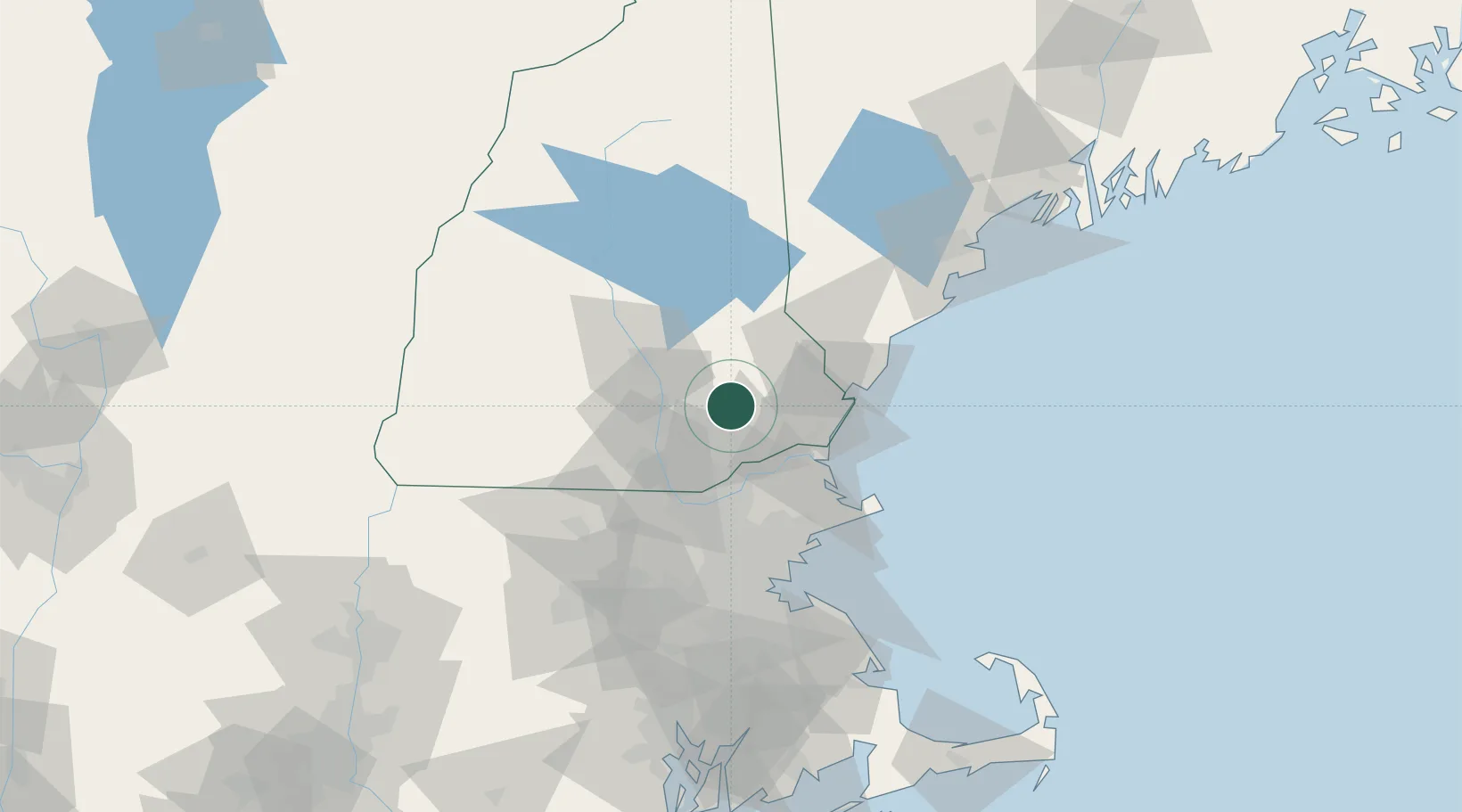
Place type
Populated place
Region
New Hampshire
Population
2,855
Time zone
America/New_York
Elevation
61 m
Location
Nearby Logistics Neighbours
Cities
- 1Deerfield12 km
- 2Auburn14 km
- 3Newfields20 km
- 4New Londonderry22 km
- 5Newton22 km
Ports
- 1Newburyport35 km
- 2Portsmouth36 km
- 3Beverly61 km
- 4Rockport62 km
- 5Salem63 km
Airports
Trade Zones
- 1FTZ No. 081 Portsmouth28 km
- 2FTZ No. 027 Boston80 km
- 3FTZ No. 268 Brattleboro117 km
- 4FTZ No. 105 Providence and North Kingstown137 km
- 5FTZ No. 263 Auburn142 km
DatabookThe Record of Consolidated Knowledge
United States beyond logistics?