Channel & Berth Profile
Pilotage, Tugs & Services
Pilotage availableYES
Tug assistanceNO
Salvage tugsNO
Potable waterYES
Diesel bunkersYES
MedicalYES
Facilities & Capabilities
Container—
Ro-Ro—
Liquid bulk—
Dry bulk—
Oil terminal—
Break bulk—
Dry dock—
Repairs—
BunkeringYES
Rail linkYES
Dangerous cargo—
ISPS security—
Harbour Specifications
Harbour size
Very Small
Harbour type
Coastal (Breakwater)
Shelter
Good
Water body
North Atlantic Ocean
Tidal range
2.7 m
Overhead limit
No
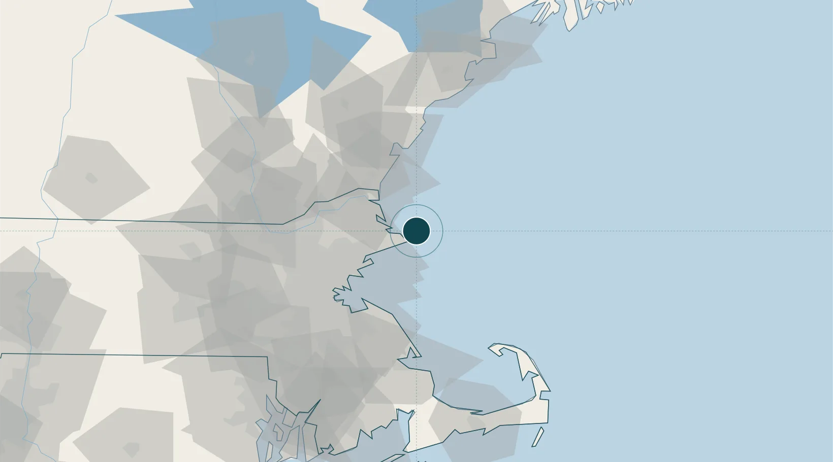
Location
Nearby Logistics Neighbours
Ports
- 1Newburyport26 km
- 2Beverly26 km
- 3Marblehead27 km
- 4Salem28 km
- 5Lynn36 km
Cities
- 1Annisquam Harbour6 km
- 2Gloucester7 km
- 3West Gloucester10 km
- 4Essex14 km
- 5Manchester17 km
Airports
Trade Zones
- 1FTZ No. 081 Portsmouth47 km
- 2FTZ No. 027 Boston56 km
- 3FTZ No. 028 New Bedford116 km
- 4FTZ No. 105 Providence and North Kingstown117 km
- 5FTZ No. 263 Auburn162 km
DatabookThe Record of Consolidated Knowledge
United States beyond logistics?