UN/LOCODE hub · United States
USDFE

Deerfield

43.1333°, -71.2333°
2
Transport functions

Transport Functions

Road
Multimodal
UN/LOCODE

Hub Profile

Place type
Populated place
GeoNames
Region
New Hampshire
GeoNames
Time zone
America/New_York
GeoNames
Elevation
159 m
GeoNames

Location

Location of USDFE
Natural Earth 10m (public domain) · New Hampshire · USDFE · 43.13, -71.23GoogleOSMYandex

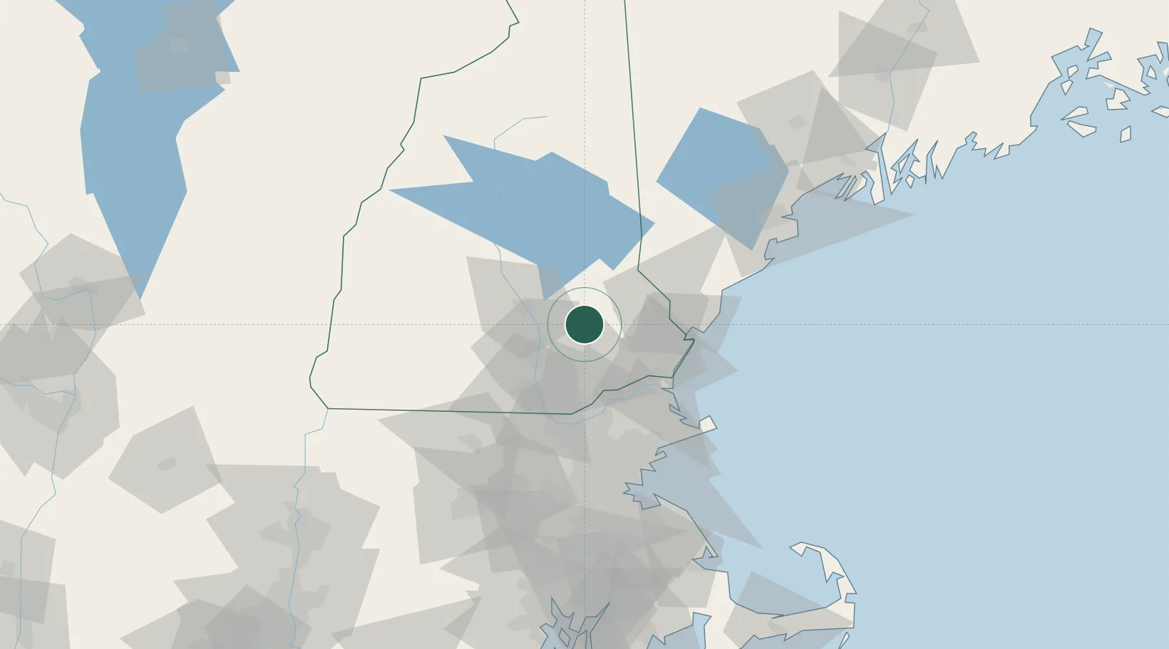
Nearby Logistics Neighbours

Cities
  1. 1Raymond12 km
  2. 2Allenstown18 km
  3. 3Pembroke18 km
  4. 4Auburn18 km
  5. 5Hooksett19 km
Nearest neighbours — logibook spatial index (haversine) over the source coordinates
Ports
  1. 1Portsmouth40 km
  2. 2Newburyport46 km
  3. 3Kennebunkport67 km
  4. 4Rockport72 km
  5. 5Beverly73 km
Nearest neighbours — logibook spatial index (haversine) over the source coordinates
Airports
  1. 1Concord Municipal Airport23 km
  2. 2Manchester-Boston Regional Airport28 km
  3. 3Portsmouth International Airport at Pease34 km
  4. 4Lawrence Municipal Airport47 km
  5. 5Beverly Regional Airport66 km
Nearest neighbours — logibook spatial index (haversine) over the source coordinates
Trade Zones
  1. 1FTZ No. 081 Portsmouth33 km
  2. 2FTZ No. 027 Boston92 km
  3. 3FTZ No. 268 Brattleboro115 km
  4. 4FTZ No. 263 Auburn135 km
  5. 5FTZ No. 105 Providence and North Kingstown148 km
Nearest neighbours — logibook spatial index (haversine) over the source coordinates
DatabookThe Record of Consolidated Knowledge
United States beyond logistics?
Browse databook

All Sources

LocationsUN/LOCODE
UN/LOCODE — free
Portsthe NGA World Port Index
Public domain (US gov)
AirportsOurAirports
Public domain
Trade Zonesthe World Bank SEZ database
CC BY 4.0
Trade ZonesOpen Zone Map
CC BY
← United States locations