UN/LOCODE hub · United States
USNL2

New Londonderry

42.9167°, -71.4000°
2
Transport functions

Transport Functions

Rail
Road
UN/LOCODE

Hub Profile

Region
NH
GeoNames

Location

Location of USNL2
Natural Earth 10m (public domain) · NH · USNL2 · 42.92, -71.40GoogleOSMYandex

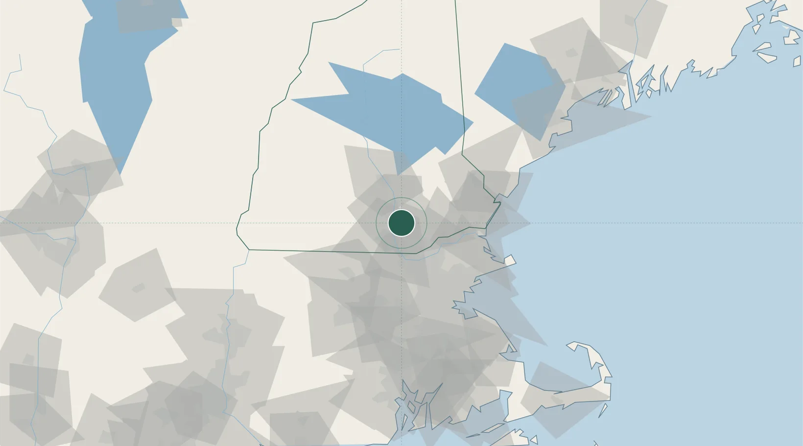
Nearby Logistics Neighbours

Cities
  1. 1Auburn10 km
  2. 2Goffstown20 km
  3. 3Hooksett21 km
  4. 4Raymond22 km
  5. 5Allenstown24 km
Nearest neighbours — logibook spatial index (haversine) over the source coordinates
Ports
  1. 1Newburyport45 km
  2. 2Portsmouth56 km
  3. 3Beverly60 km
  4. 4Salem61 km
  5. 5Lynn64 km
Nearest neighbours — logibook spatial index (haversine) over the source coordinates
Airports
  1. 1Manchester-Boston Regional Airport3 km
  2. 2Lawrence Municipal Airport32 km
  3. 3Concord Municipal Airport33 km
  4. 4Portsmouth International Airport at Pease50 km
  5. 5Laurence G Hanscom Field51 km
Nearest neighbours — logibook spatial index (haversine) over the source coordinates
Trade Zones
  1. 1FTZ No. 081 Portsmouth48 km
  2. 2FTZ No. 027 Boston71 km
  3. 3FTZ No. 268 Brattleboro98 km
  4. 4FTZ No. 105 Providence and North Kingstown122 km
  5. 5FTZ No. 201 Holyoke132 km
Nearest neighbours — logibook spatial index (haversine) over the source coordinates
DatabookThe Record of Consolidated Knowledge
United States beyond logistics?
Browse databook

All Sources

LocationsUN/LOCODE
UN/LOCODE — free
Portsthe NGA World Port Index
Public domain (US gov)
AirportsOurAirports
Public domain
Trade Zonesthe World Bank SEZ database
CC BY 4.0
Trade ZonesOpen Zone Map
CC BY
← United States locations