Medium airport · United States
Seymour Johnson Air Force BaseKGSB
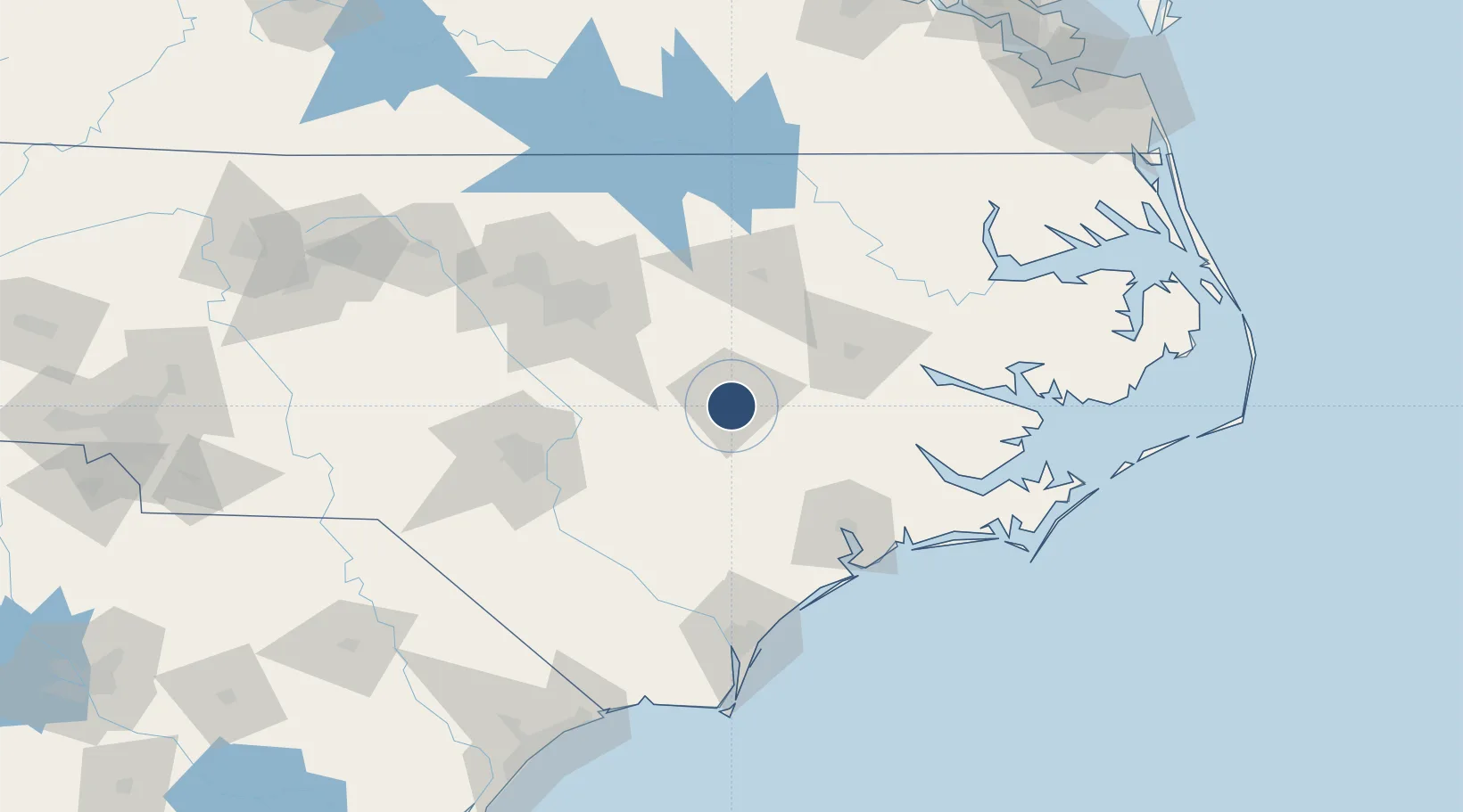
35.3394°, -77.9606°
11,760 ft
Longest runway
1
Runways
109 ft
Elevation
Runway & Layout

Radio Frequencies
ATIS
31.762 MHz
TWR
126.25 MHz
GND
138.1 MHz
CLD
128.025 MHz
CLNC DEL
APP
119.7 MHz
DEP
119.7 MHz
MISC
37.61 MHz
ACC SOF
PMSV
32.392 MHz
PMSV METRO
POST
31.1 MHz
916TH COMD POST
POST
31.1 MHz
4FW COMD POST
PTD
37.22 MHz
Navaids
GSB TACAN Seymour Johnson 116.50 MHz
Runways · 1
| Runway | Dimensions | Surface | True heading | Lit |
|---|---|---|---|---|
| 08/26 | 11,760 × 300ft | Asphalt / concrete | 073° | ✓ |
Airport Specifications
IATA code
GSB
ICAO code
KGSB
Airport class
Medium airport
Scheduled service
No
Runway surface
Asphalt / concrete
Served city
Goldsboro
Location
Nearby Logistics Neighbours
Airports
Cities
- 1La Grange17 km
- 2Kenly31 km
- 3Pine Level, Johnston33 km
- 4Pink Hill37 km
- 5Four Oaks43 km
Ports
- 1Washington86 km
- 2New Bern87 km
- 3Wilmington123 km
- 4Plymouth124 km
- 5Wrightsville126 km
Trade Zones
- 1FTZ No. 214 Lenoir County15 km
- 2FTZ No. 093 Raleigh Durham106 km
- 3FTZ No. 020 Suffolk215 km
- 4FTZ No. 230 Piedmont Triad Area219 km
- 5FTZ No. 207 Richmond246 km
DatabookThe Record of Consolidated Knowledge
United States beyond logistics?