Transport Functions
Road
Multimodal
Hub Profile
Place type
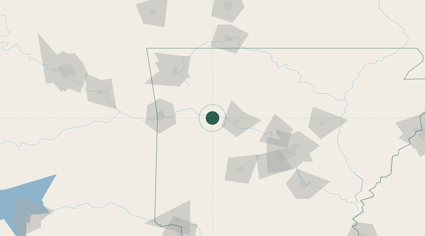
Populated place
Region
Arkansas
Population
221
Time zone
America/Chicago
Elevation
113 m
Location
Nearby Logistics Neighbours
Cities
- 1Charleston46 km
- 2Phoenix Township47 km
- 3Lavaca58 km
- 4Greenwood, Sebastian67 km
- 5Cullen69 km
Ports
- 1Port Of Memphis308 km
- 2Lake Charles571 km
- 3Orange586 km
- 4Baton Rouge587 km
- 5Beaumont588 km
Airports
- 1Fort Smith Regional Airport76 km
- 2Drake Field93 km
- 3Memorial Field Airport105 km
- 4Boone County Airport107 km
- 5Northwest Arkansas National Airport125 km
Trade Zones
- 1FTZ No. 014 Little Rock141 km
- 2FTZ No. 164 Muskogee178 km
- 3FTZ No. 225 Springfield209 km
- 4FTZ No. 258 Bowie County233 km
- 5FTZ No. 053 Rogers County236 km
DatabookThe Record of Consolidated Knowledge
United States beyond logistics?