Transport Functions
Rail
Road
Multimodal
Hub Profile
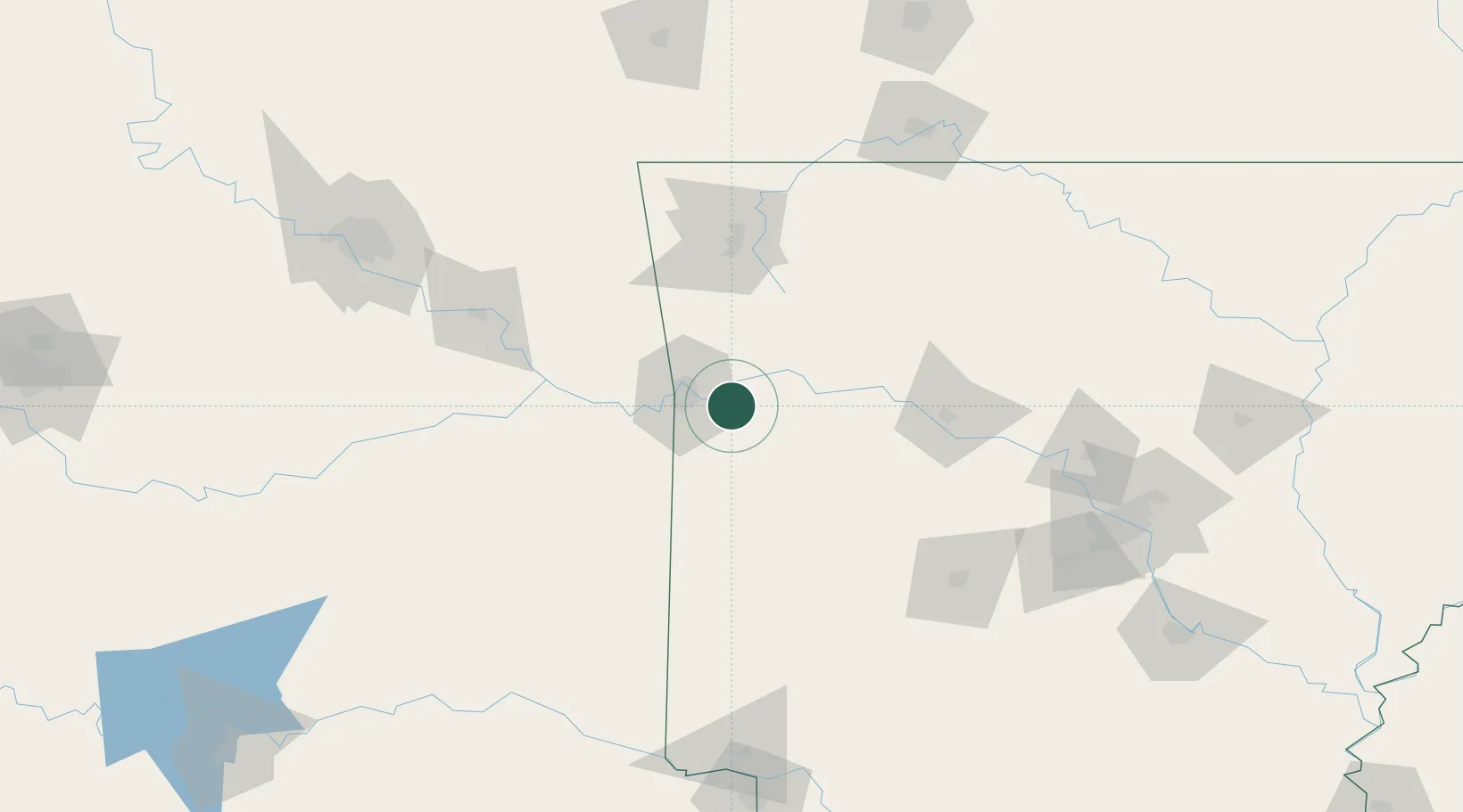
Place type
Populated place
Region
Arkansas
Population
2,404
Time zone
America/Chicago
Elevation
129 m
Location
Nearby Logistics Neighbours
Cities
- 1Barling12 km
- 2Charleston13 km
- 3Greenwood, Sebastian15 km
- 4Mansfield31 km
- 5Muldrow39 km
Ports
- 1Port Of Memphis365 km
- 2Lake Charles575 km
- 3Beaumont584 km
- 4Orange585 km
- 5Port Neches593 km
Airports
- 1Fort Smith Regional Airport18 km
- 2Drake Field75 km
- 3Northwest Arkansas National Airport106 km
- 4Memorial Field Airport136 km
- 5Boone County Airport138 km
Trade Zones
- 1FTZ No. 164 Muskogee124 km
- 2FTZ No. 053 Rogers County188 km
- 3FTZ No. 014 Little Rock193 km
- 4FTZ No. 258 Bowie County212 km
- 5FTZ No. 225 Springfield227 km
DatabookThe Record of Consolidated Knowledge
United States beyond logistics?