Transport Functions
Road
Multimodal
Hub Profile
Region
AR
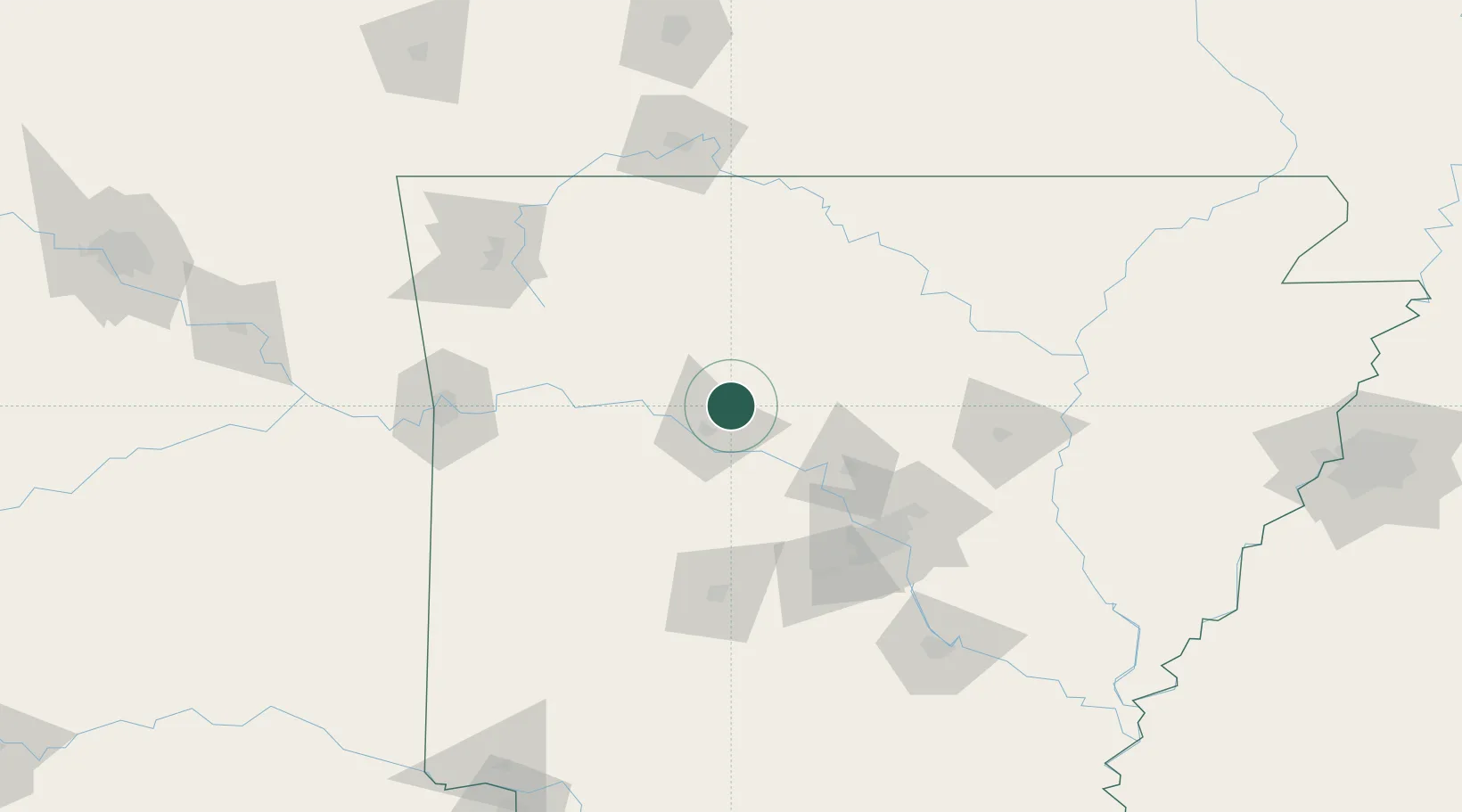
Location
Nearby Logistics Neighbours
Cities
- 1Plumerville45 km
- 2Scranton47 km
- 3Damascus56 km
- 4Bigelow57 km
- 5Guy63 km
Ports
- 1Port Of Memphis262 km
- 2Baton Rouge576 km
- 3Lake Charles577 km
- 4Orange595 km
- 5Beaumont600 km
Airports
Trade Zones
- 1FTZ No. 014 Little Rock107 km
- 2FTZ No. 225 Springfield201 km
- 3FTZ No. 164 Muskogee222 km
- 4FTZ No. 287 Tunica County229 km
- 5FTZ No. 077 Memphis253 km
DatabookThe Record of Consolidated Knowledge
United States beyond logistics?